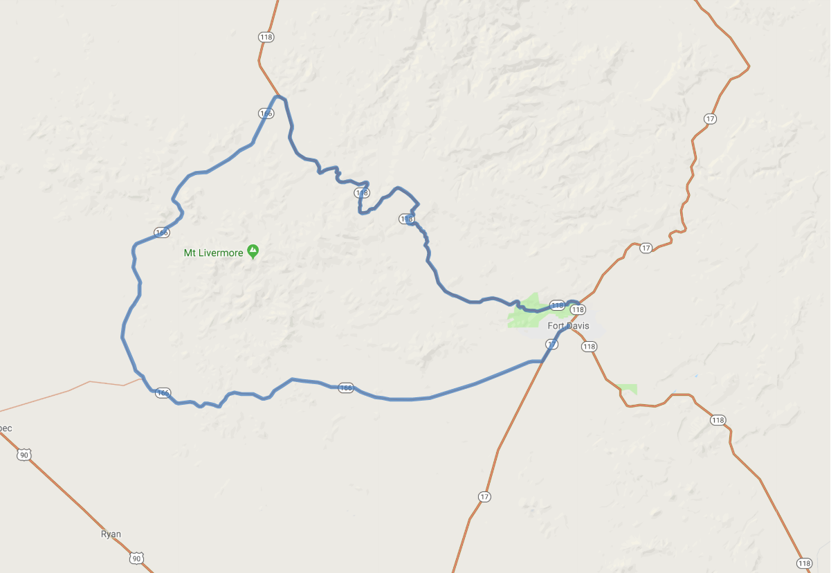
Print link

Texas Mountain Trail Scenic Drive, Fort Davis Loop

Road Trip

View on Map
Wikimedia Commons/Zereshk
73.4 miles: 1 hours, 24 minutes
This peaceful drive on the Texas Mountain Trail’s SR 118/SR 166 ambles past grassy grazing lands, past an oak-canopied creek and over dusty hillsides. Quiet ponds lap up to verdant shores on the vast stretches of Texas-sized ranches where horses and herds of cattle roam. Enter a shady oasis of pinyon pines, oak and juniper trees at your journey's end.
Map pin
Road trips stop
1
73.4 miles: 1 hours, 24 minutes
Ease along this serene loop past wide stretches of open land framed by craggy mountains and punctuated by the occasional canyon. Look out for roaming cows and antelope as well as narrow roads on parts of SR 166. Spot Mount Livermore, one of Texas’ highest mountains, midway through your drive. Take a break along the way at a picnic area.