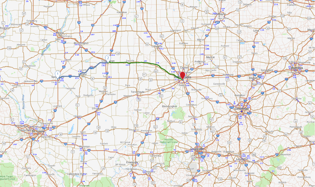
Print link

Illinois and Indiana State Capitals

Road Trip

View on Map
dszc/iStockphoto.com
213.7 miles: 4 hours, 2 minutes
One nickname for Illinois is the Corn State, and this trek across its central swath passes mile after mile of farmland. Corn and soybeans planted in the region’s rich black earth in spring are flourishing by summer; in fact “silty clay loam” is Illinois’ official state soil. Plan your trip for when the crops are at their verdant peak.
Map pin
Drive trips stop
flickr/Demian & Heather
1
Springfield, IL to Champaign, IL
90.5 miles: 1 hours, 46 minutes
Springfield is practically synonymous with President Abraham Lincoln. W. North Grand Avenue and 9th, Carpenter and 3rd streets border the historic district where you’ll find gaslights, wooden sidewalks and specialty shops. En route to Champaign, near Monticello, the 1,500-acre Allerton Park & Retreat Center includes formal gardens and interpretive hiking trails.
Drive trips stop
flickr/Rubbertoe (Robert Batina)
2
Champaign, IL to Indianapolis, IN
123.2 miles: 2 hours, 16 minutes
Champaign and Urbana, separated by a single street, share the University of Illinois campus. Farmland is the scenery on the way to Indianapolis, Indiana’s state capital, where the Indianapolis 500 attracts international visitors every Memorial Day weekend. Downtown’s Circle Centre Mall offers shopping and restaurants; indoor skywalks connect it to 12 hotels.