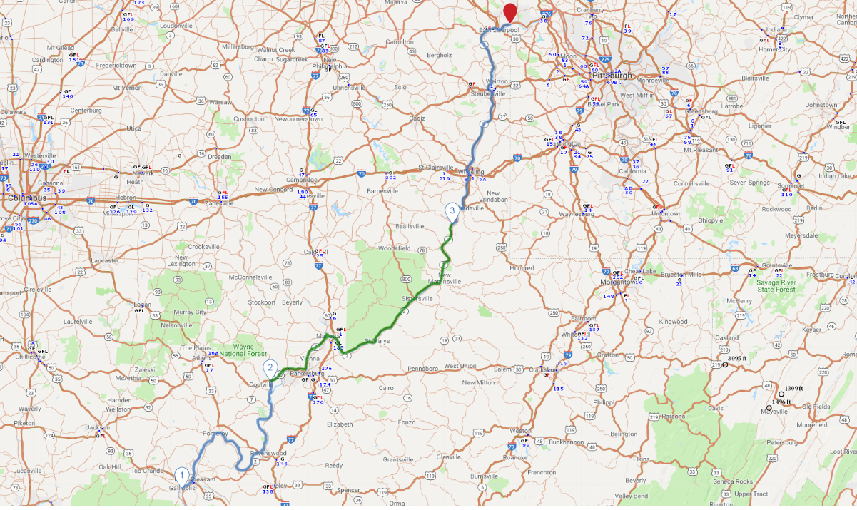
Print link

Eastern Ohio River Historic Byway

Road Trip

View on Map
zrfphoto/iStockphoto.com
228.0 miles: 5 hours, 9 minutes
The 229-mile Eastern Ohio River Historic Byway overlaps part of the 943-mile nationally designated Ohio River Scenic Byway. This drive trip through southeastern Ohio includes lots of water views, fields, hills and cliffs. The star of the route is of course the Ohio River, which marks the border between Ohio and West Virginia.
Map pin
Drive trips stop
flickr/Doug Kerr
1
Gallipolis to Torch
70.5 miles: 1 hours, 44 minutes
This leg takes you along the Ohio River via SR 7/124, where there are expansive river views bordered by the distant tree-lined hills of West Virginia. Spacious fields and the stacks of the Kyger Creek power plant are additional highlights.
Drive trips stop
Wikimedia Commons/Tim Kiser
2
Torch to Powhatan Point
85.8 miles: 1 hours, 49 minutes
The second leg meanders beside the Ohio River on US 50/SR 32/SR 2/SR 7. You’ll cross over the Little Hocking and Muskingum rivers and Opossum Creek, which connect to the Ohio River. Pull in at the scenic overlook just past Bramblewood Heights Road for an incredible view of the river and West Virginia’s hills.
Drive trips stop
flickr/James St. John
3
Powhatan Point to Pennsylvania state line
71.8 miles: 1 hours, 34 minutes
SR 7/US 30/SR 39 completes the final leg of the journey. In addition to the Ohio River, the scenery includes rocky and tree-lined cliffs. You may even ride alongside a train since tracks run parallel to the river for part of the way.