
Eastern Waters of the Dancing Sky Scenic Byway
Road Trip
View on Map
JackVandenHeuvel/iStockphoto.com
11.8 miles:
17 minutes
Scenery on the Eastern Waters of the Dancing Sky Scenic Byway has small towns, farmland and inland bodies of water adjacent to Rainy Lake along the US/Canadian border. Some of the rural, two-lane SR 11 Voyageurs Route is tree-lined and is a sight to behold in autumn.
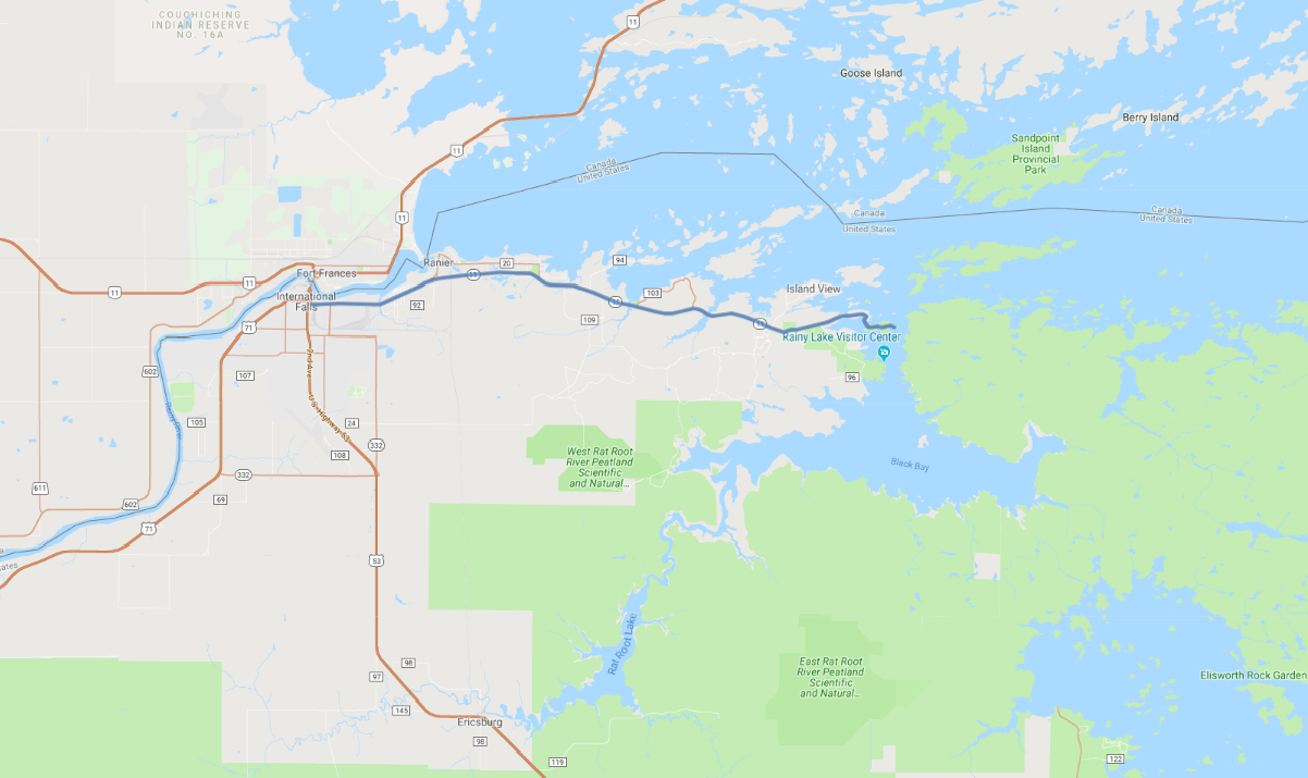
“Dancing Sky” in the name of the Eastern Waters of the Dancing Sky Scenic Byway refers to the aurora borealis (northern lights) that appear in the sky thanks to the area’s lack of bright city lights. SR 11 starts in International Falls and follows in close proximity to Rainy Lake until it ends in Island View. Small towns are far between on the two-lane road that has farmland in abundance.