
Ohio's Western Lake Erie Coastal Trail
Road Trip
View on Map
Ivan Bliznetsov/iStockphoto.com
130.3 miles:
3 hours,
55 minutes
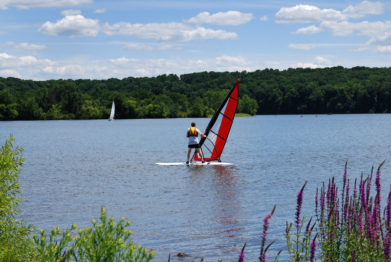
The diverse scenery on Ohio's Western Lake Erie Coastal Trail runs the gamut from the marinas and beach-lined shores of massive Lake Erie to the nature-preserving Metroparks and verdant farmland of the Toledo outskirts. The route also meanders past golf courses, wineries and picturesque historic districts.

cveltri/iStockphoto.com
1
Marblehead to Port Clinton
20.4 miles:
34 minutes
From Marblehead to Catawba Island, experience a laidback drive through sprawling countryside dotted with wineries and orchards. Roadside produce stands proliferate in warm months. In Catawba Island, which is actually a peninsula, you’ll have easy access to Lake Erie from its countless marinas; the region is popular with lovers of water sports.

Mshake/iStockphoto.com
2
Port Clinton to Toledo
47.9 miles:
1 hours,
13 minutes
Port Clinton, the self-proclaimed “Walleye Capital of the World,” has striking lakefront views. The breathtaking Veterans’ Glass City Skyway leading into Toledo features steel cables that radiate from a 400-foot glass pylon illuminated at night by multihued LED lights. A delightful mix of Arts and Crafts, Queen Anne and Victorian homes fill the Old West End.

Mshake/iStockphoto.com
3
Toledo to Michigan state line
61.9 miles:
2 hours,
7 minutes
In Maumee’s downtown historic district along Conant Street, watch a flick at the 1946 Art Deco Maumee Theatre. Steer past quiet wooded neighborhoods on River Road and catch glimpses of the Maumee River. At Oak Openings Preserve Metropark, an oak savanna with sand dunes, stretch your legs on nature trails. Heading north, expanses of emerald farmland surround you.

