
Mount Rogers Scenic Route 58 Road Trip
Road Trip
View on Map
jcarillet/iStockphoto.com
33.6 miles:
57 minutes
As you travel US 58 through Mount Rogers National Recreation Area past the fir and spruce trees, you will drive alongside Straight Branch Creek. Occasional views of White Top Mountain rise over the dense line of trees.
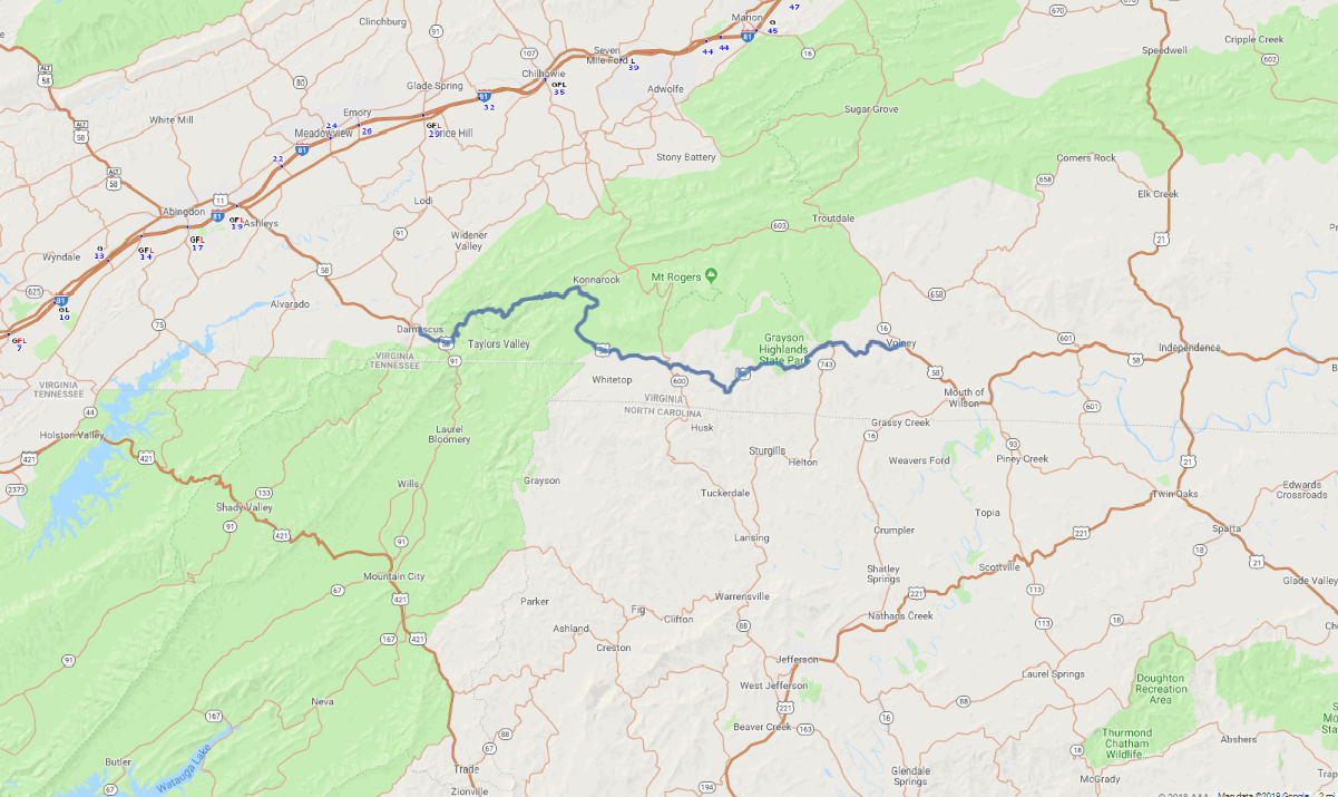
Mountains rise in the background as you drive down US 58, and inside Mount Rogers National Recreation Area, the namesake Mount Rogers ascends to the highest point in Virginia at 5,729 feet. At the right time of year, wildflowers line this lovely drive under a canopy of trees.