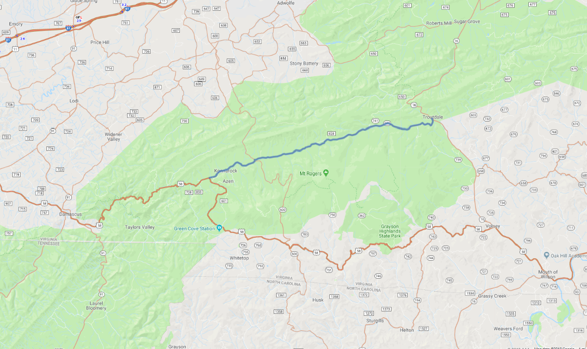
Print link

Mount Rogers Scenic Route 603

Road Trip

View on Map
rickberk/iStockphoto.com
13.2 miles: 20 minutes
The Mount Rogers Scenic Route begins near Konnarock and takes you through the Mount Rogers National Recreation Area to Troutdale, passing north of Whitetop Mountain and Mount Rogers, the two highest points in Virginia. Small meadows and pastureland along Laurel Creek provide breaks in the hardwood forest, which pour forth a blaze of color in the fall.
Map pin
Road trips stop
1
13.2 miles: 20 minutes
The Mount Rogers Scenic Route (CR 603) follows the path of Laurel Creek toward Mount Rogers, winding more than 50 miles through rural countryside and hardwood forest of the Mount Rogers National Recreation Area. The recreation area is home to a rich diversity of wildlife, including a herd of wild ponies.