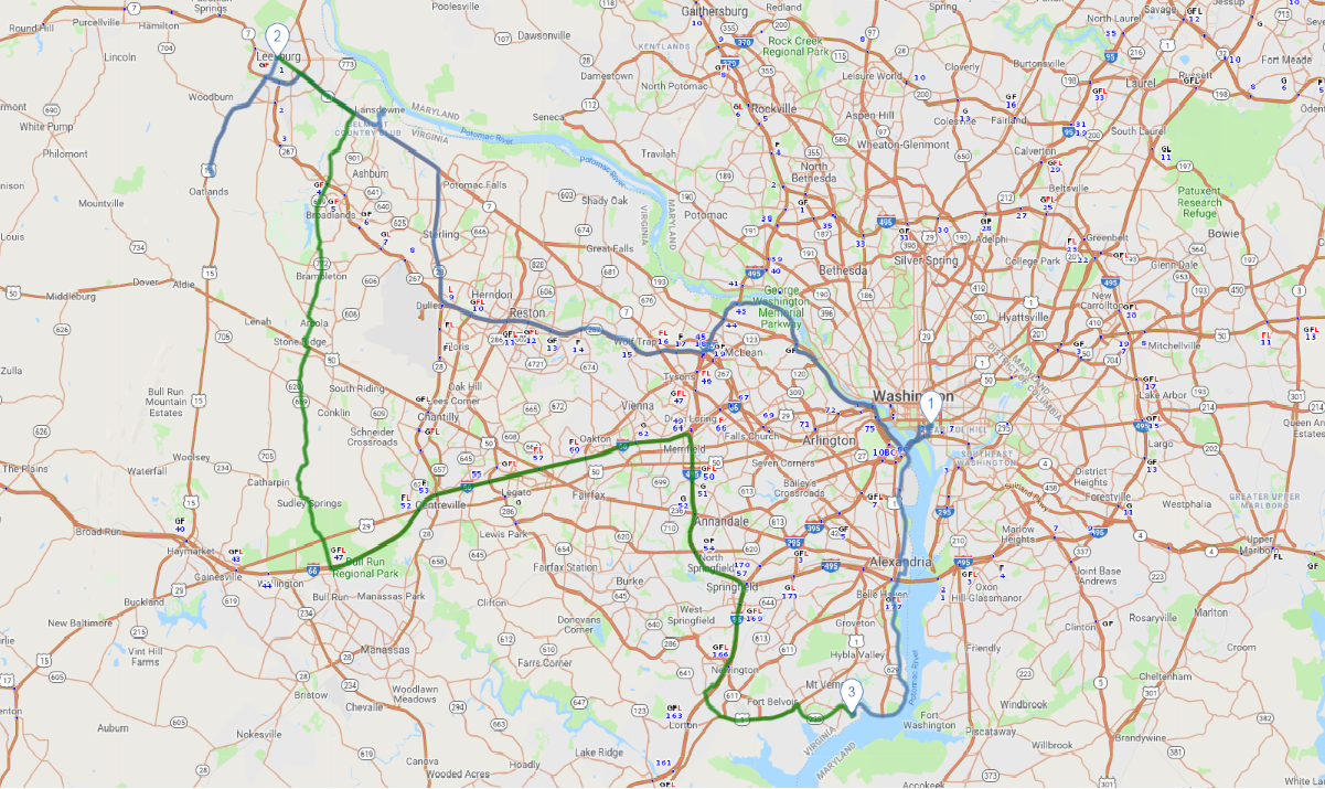
Print link

National Capital

Road Trip

View on Map
uschools/iStockphoto.com
137.9 miles: 3 hours, 34 minutes
American history buffs will appreciate this route that begins and ends in the nation’s capital and includes two nearby Virginia locations—Leesburg and Mount Vernon—that played prominent roles in the early days of a new nation. A scenic bonus is the rolling northern Virginia countryside, at its best in spring and again during fall foliage season in October.
Map pin
Drive trips stop
BackyardProduction/iStockphoto.com
1
National Mall to Leesburg, VA
56.3 miles: 1 hours, 17 minutes
The George Washington Memorial Parkway winds through heavily wooded terrain high above the Potomac River; this commuter route is a delightfully scenic drive. After passing lots of suburban sprawl via the Dulles Toll Road, more bucolic vistas begin to appear closer to Leesburg, one of northern Virginia’s oldest towns and a gateway to Virginia Wine Country.
Drive trips stop
gingwa/iStockphoto.com
2
Leesburg, VA to Mount Vernon, VA
64.6 miles: 1 hours, 38 minutes
There's history aplenty at Manassas National Battlefield Park, where two strategic Civil War battles were fought. A scenic walking trail on Henry Hill covers the same ground where picnickers—presumably at a safe distance—watched Confederate and Union soldiers clash. Then tour Mount Vernon, the meticulously restored estate that the father of our country called home.
Drive trips stop
Architect of the Capitol/Jake McGuire
3
Mount Vernon, VA to National Mall
17.1 miles: 38 minutes
From Mount Vernon, enjoy the river views along the GW Parkway en route to Alexandria, a thriving Colonial port almost half a century before Washington, D.C. was mapped out by Pierre L'Enfant. Old Town Alexandria is a charming place to have lunch before spending the rest of the day visiting a few of the many memorials, monuments and museums around the National Mall.