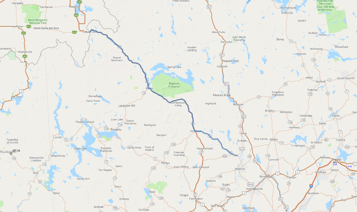
Print link

The Carrabassett River and Route 27 Scenic Byway

Road Trip

View on Map
AAA/iStockphoto.com
66.9 miles: 1 hours, 21 minutes
The Trans-Maine Trail (SR 16/SR 27) traverses through Maine's mountain foothills all the way to Quebec. The Carrabassett River slips through the wooded valleys that ensconce the mostly tree-lined byway. The tail end of the Appalachian Trail treks over the grand Sugarloaf and Crocker Mountains, crossing the route near Bigelow.
Map pin
Road trips stop
1
66.9 miles: 1 hours, 21 minutes
While traveling along tree-lined Trans-Maine Trail—(SR 16/SR 27)—Carrabassett Valley boasts the Sugarloaf Mountain Resort. Skiing is offered from mid-Nov. to early May (weather permitting). The route alternates from rolling foothills to rural valleys accompanied by glimpses of sparkling streams and clear blue lakes interspersed among the woods.