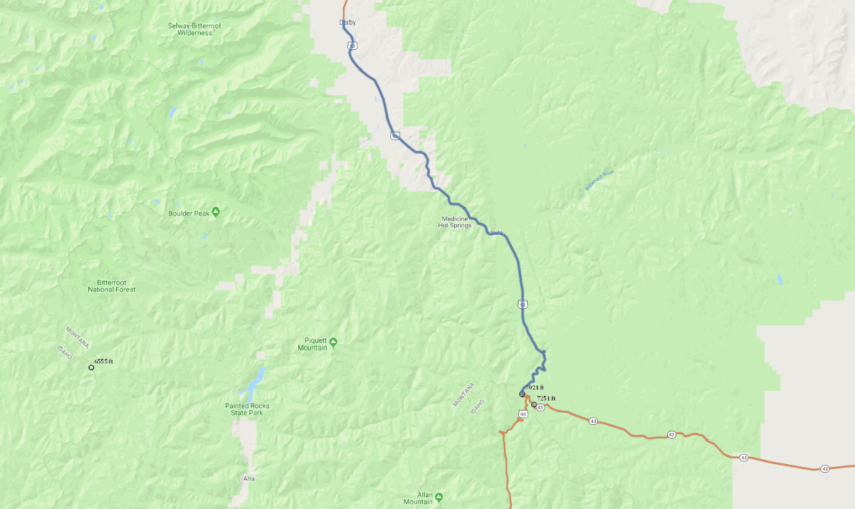
Print link

Bitterroot Valley Scenic Highway

Road Trip

View on Map
AAA/iStockphoto.com
30.5 miles: 32 minutes
From rustic Darby, US 93 runs along the Bitterroot River and through the Bitterroot National Forest. With the Sapphire Mountains in the east, and the forested Bitterroot Mountains in the west, the scenery is vivid and varied. As you near the Idaho border, higher peaks, like Trapper Peak at 10,157 feet, dominate the rugged landscape.
Map pin
Road trips stop
1
30.5 miles: 32 minutes
The byway (US 93) slips through the Bitterroot National Forest along the Bitterroot River. Black bears, mule deer and bighorn sheep roam the mountainsides. From sage bushes and ponderosa pines to sky-scraping sub-alpine larch and spruce trees, the vegetation is diverse and beautiful. Hiking, camping, fishing, and rock climbing are some of the outdoor offerings in the national forest.