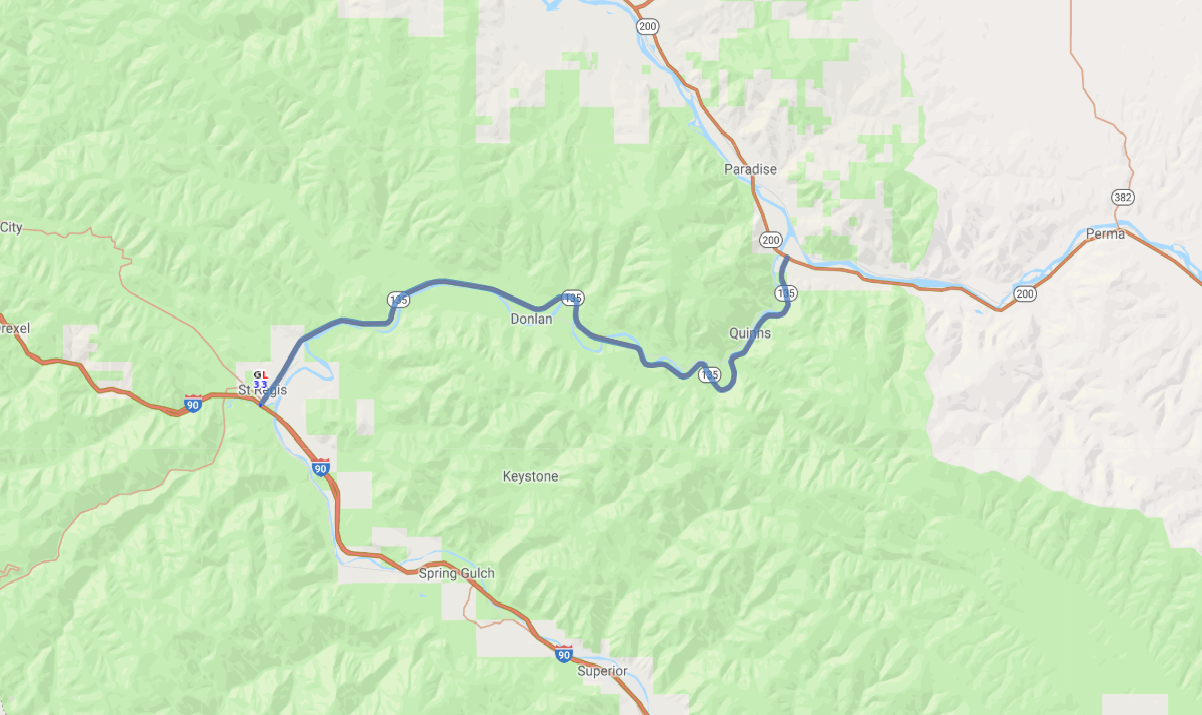
Print link

Clark Fork River Scenic Road

Road Trip

View on Map
GlovTech/iStockphoto.com
21.5 miles: 22 minutes
The Clark Fork River Scenic Road (SR 135) follows the Clark Fork River in western Montana from St. Regis to the Flathead River. The byway carves a path through the forested foothills of the Cabinet Mountains in Lolo National Forest, which is richly diverse in plant and wildlife species.
Map pin
Road trips stop
1
21.5 miles: 22 minutes
SR 135 takes you through the forested foothills of the Cabinet Mountains alongside the Clark Fork River. The forest includes spruce, fir and pines, along with the Western red cedar, which can reach 8 feet in diameter here. Grizzly and black bears, bighorn sheep, mountain goats, moose, elk and mule deer are among the many animals found in these mountains.