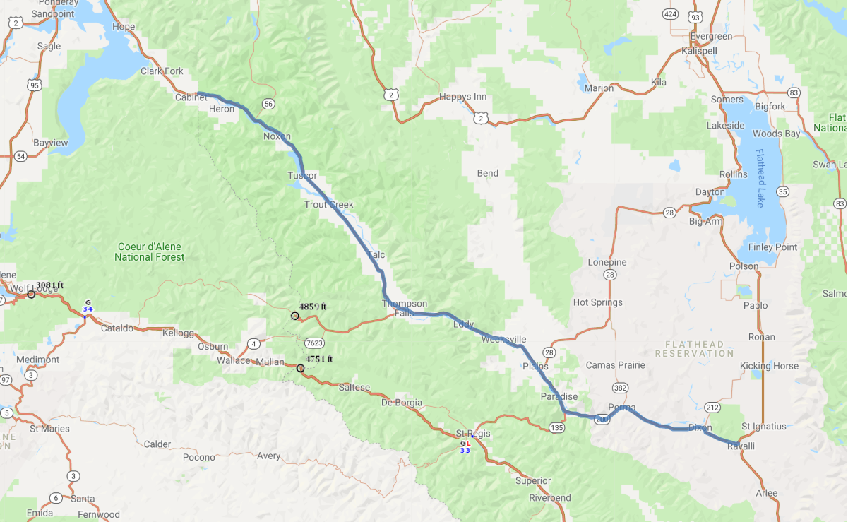
Print link

Montana's Scenic Route 200

Road Trip

View on Map
WLC_N2M/iStockphoto.com
115.5 miles: 1 hours, 59 minutes
Montana’s Scenic Route 200 follows along the banks of the Clark Fork River in addition to streams, tributaries and reservoirs. Small towns dot SR 200, but the forests, mountains and sky framing the journey make this northwestern roadway a haven for photography enthusiasts.
Map pin
Road trips stop
1
115.5 miles: 1 hours, 59 minutes
Rock ledges and the snow-laced peaks add high elevation interest to the landscape while the Clark Fork River cuts a path through the Cabinet and Bitterroot Mountains. Montana’s Scenic Route 200 glides past dense forests into the Flathead Indian Reservation. Wooded areas like the Lolo National Forest provide a host of outdoor recreation all along the route.