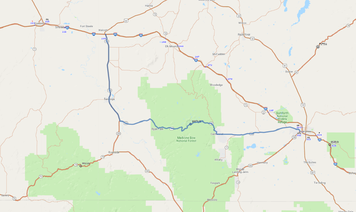
Print link

Snowy Range Scenic Highway

Road Trip

View on Map
AAA/iStockphoto.com
96.0 miles: 1 hours, 40 minutes
Seasonal route: The road is subject to closure in winter. On SR 130, wide open plains covered with golden scrub brush lead to rocky hillsides and the Medicine Bow National Forest populated with evergreens. Medicine Bow Peak towers over Snowy Range Pass at the highest point on the byway, 10,847 feet.
Map pin
Road trips stop
1
96.0 miles: 1 hours, 40 minutes
SR 130 winds through Medicine Bow National Forest, and to the north are marvelous views of the snowcapped Medicine Bow Peak and Sugarloaf Mountain. Closed in winter, the road reaches high elevations that may experience snowy conditions even in summer. On either side of the forest are expansive, scrub brush-covered plains with views of the foothills.