
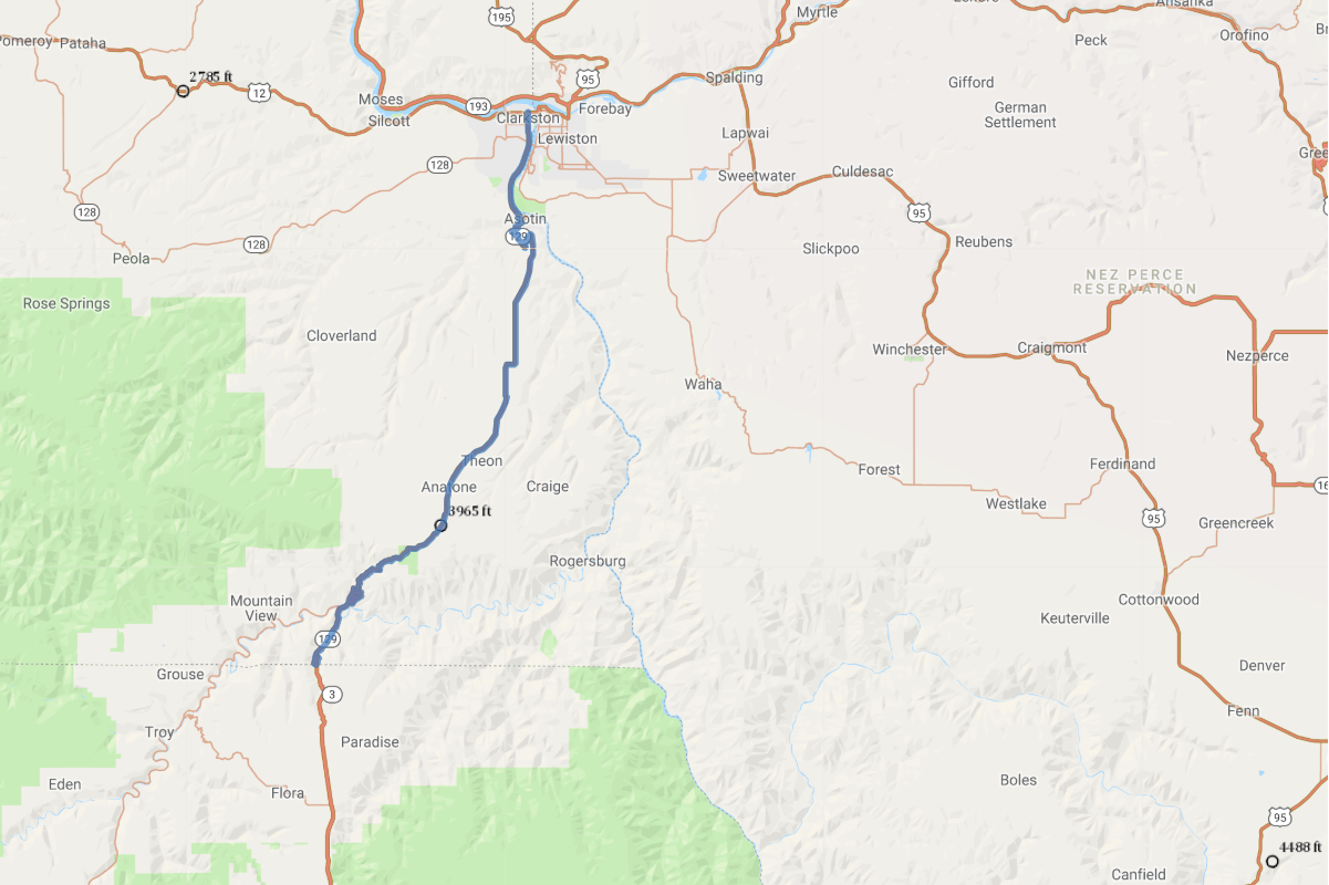
Clarkston to Oregon Scenic Drive Road Trip
Road Trip
View on Map
Wikimedia Commons/Williamborg
42.1 miles:
1 hours,
1 minutes
The views along SR 129 are as varied as they are breathtaking - from twists and curves through canyons to seemingly endless farmland. You’ll discover this isolated section of southeast Washington along a route once traversed by the Nez Perce Indians.
1
42.1 miles:
1 hours,
1 minutes
Near its terminus at the Oregon border, SR 129 winds around rolling ridges sparsely dotted with pine trees, where the occasional sign warns of falling rocks. North of the Grande Ronde River and Fields Spring State Park, the two-lane Clarkston to Oregon Scenic Drive opens up to views of wheat fields and distant plateau mountains before becoming hilly again near the Snake River and Clarkston, Wash.