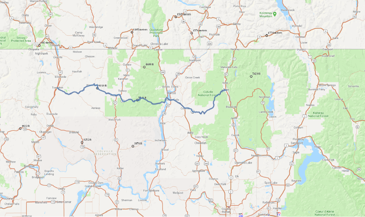
Print link

Sherman Pass Scenic Byway

Road Trip

View on Map
franckreporter/iStockphoto.com
128.0 miles: 2 hours, 32 minutes
The Colville and Okanogan-Wenatchee National forests cover the land around SR 20 with dense stands of lodgepole pine, ponderosa pine and Douglas fir. The Columbia River, which intersects the route inside a narrow gorge, and the steep slopes up Sherman Pass both illustrate the diversity of this splendid section of the state.
Map pin
Road trips stop
1
128.0 miles: 2 hours, 32 minutes
From the rocky hills near Tonasket, SR 20 leads east to a small section of the Okanogan-Wenatchee National Forest and ascends to 4,310 feet at Wauconda Pass. The byway winds across the Kettle River Range, a region of the Coleville National Forest blanketed with lodgepole pine, ponderosa pine and Douglas fir, then crosses the mighty Columbia River over a narrow gorge.