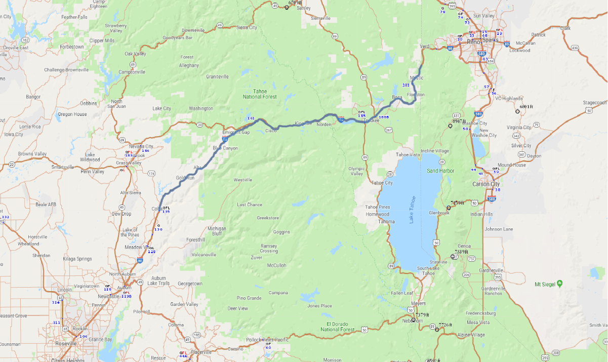
Print link

Donner Summit Scenic Freeway

Road Trip

View on Map
zrfphoto/iStockphoto.com
69.3 miles: 1 hours, 7 minutes
The mighty Sierra Nevada range has always posed a formidable barrier when it comes to travel. California-bound 19th-century pioneers discovered gaps in the mountains that afforded passage for their wagons. Today’s travelers take advantage of I-80, the Donner Summit Scenic Freeway, which provides view after sweeping view of a seemingly endless procession of peaks.
Map pin
Road trips stop
1
69.3 miles: 1 hours, 7 minutes
From the Sierra Nevada foothills I-80 ascends to 7,239-foot Donner Pass. At this lofty vantage point the surrounding panorama of tree-cloaked mountain ridges is spectacular. Pull off the highway for a lovely view of Donner Lake, framed by tall conifers. Note: I-80 is open all year, but winter weather conditions often necessitate temporary closures.