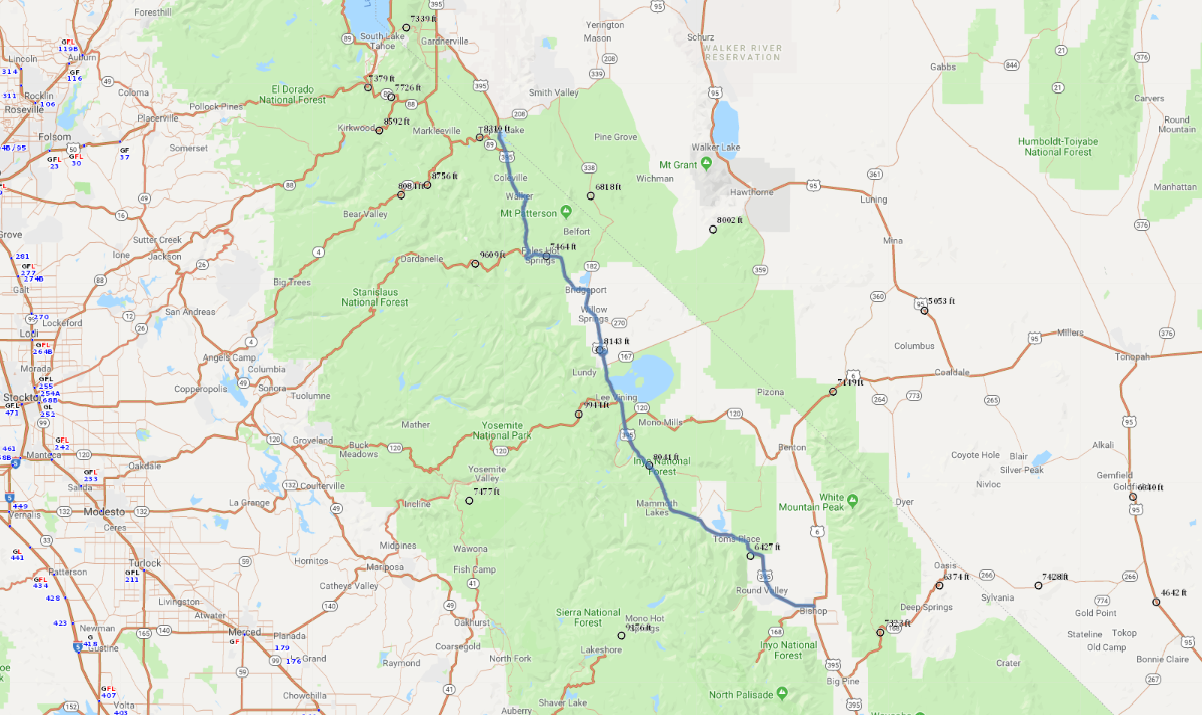
Print link

Eastern Sierra Scenic Byway

Road Trip

View on Map
flickr/ETNevins
132.8 miles: 2 hours, 15 minutes
Seasonal route: The road is subject to closure in winter. Running along the eastern Sierra Nevadas, the 133-mile stretch of US 395 between Bishop, Calif., and the junction with SR 89 is loaded with scenic vistas, from an “inland sea” in the middle of the Great Basin Desert to mountain flanks cloaked in juniper and piñon pine. Better yet, the curvy road is in great condition, making it a delight to drive at a leisurely pace.
Map pin
Road trips stop
1
132.8 miles: 2 hours, 15 minutes
The Eastern Sierra Scenic Byway ascends dramatically as the highway negotiates the dictates of mountain terrain. After cresting Deadman Summit at just over 8,000 feet, the route descends toward Mono Lake, visible for miles in the distance. Along with this highly saline body of water, hot springs and towers of tufa rock in the vicinity create a landscape that is bizarrely beautiful.