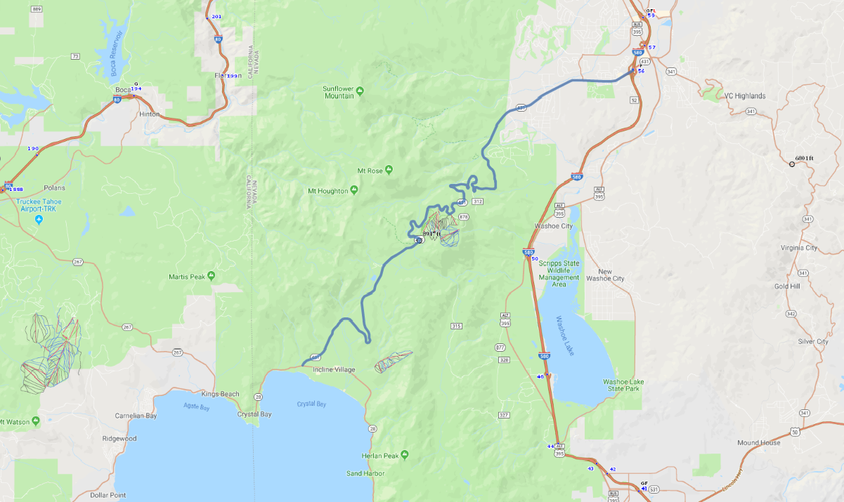
Print link

Mount Rose National Scenic Byway

Road Trip

View on Map
AAA/iStockphoto.com
23.7 miles: 31 minutes
As you navigate the Mount Rose Scenic Byway (SR 431), snow-dusted mountains loom above pine forests and jewel-toned Lake Tahoe, setting up a spectacular picture-perfect scene. The paved drive begins at the Tahoe Basin, twists and gradually climbs past rocky slopes, then descends into Reno. Snow tires/chains may be necessary during winter.
Map pin
Road trips stop
1
23.7 miles: 31 minutes
Travelers relish striking vistas of glittering Lake Tahoe and the Sierra Nevada, with several scenic outlooks just past Incline Village. Alpine skiers flock here in winter, while boaters ply the clear waters in summer. The drive winds past Diamond Peak ski resort, reaching its highest elevation at 8,900-foot Mount Rose, then meanders down through high-desert terrain.