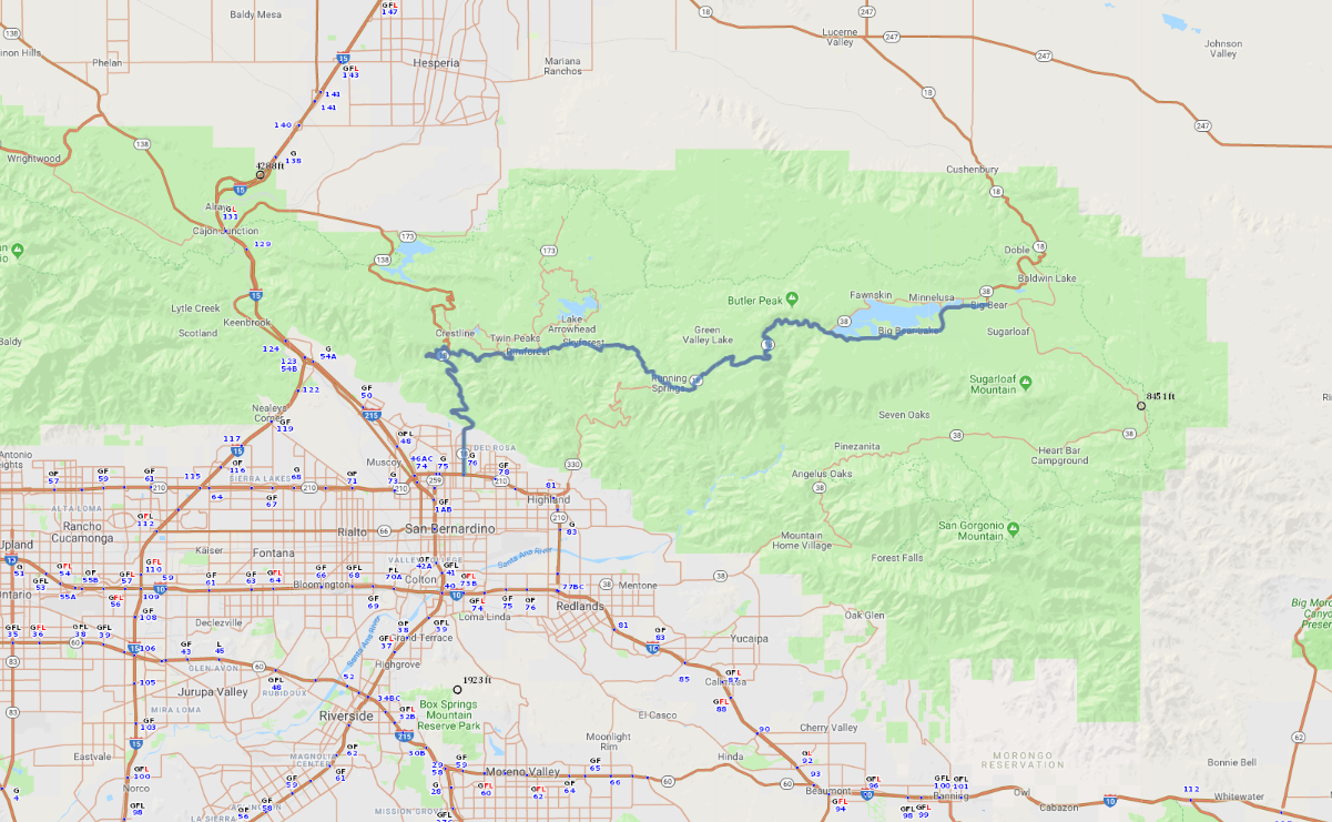
Print link

Rim of the World Scenic Drive

Road Trip

View on Map
flickr/erenemre
46.9 miles: 1 hours, 19 minutes
Say “Southern California” and most people think palm trees and beaches. Experience the adventurous flip side along SR 18, the Rim of the World Scenic Drive. Traversing the crest of the San Bernardino Mountains—where forested peaks top 8,000 feet—the byway provides access to two lakes popular with outdoor enthusiasts and offers some truly stunning panoramic views.
Map pin
Road trips stop
1
46.9 miles: 1 hours, 19 minutes
From SR 210, four-lane SR 18 (Waterman Avenue) heads north before angling east as a two-lane road. Heed the posted speed limit on this winding route, and stop at pull-outs along the way to marvel at sweeping vistas of the San Bernardino Valley below. Stretch your legs at pretty Big Bear Lake, where plenty of hiking trails offer water views with a backdrop of mountains.