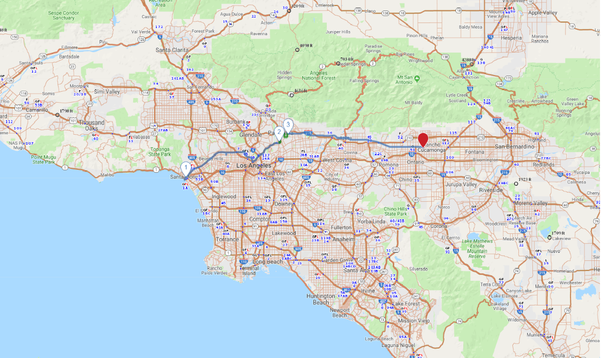
Print link

Route 66 - Western California

Road Trip

View on Map
Pgiam/iStockphoto.com
63.0 miles: 3 hours, 27 minutes
Route 66 enthusiasts won’t want to miss this trip across southern California from the road’s westernmost end. You’ll leave the glittering Pacific Ocean behind, trading Los Angeles’ urban sprawl for serene scenes of small town life in the San Gabriel Valley. Echoes of the old Route 66 still exist here, from historic motor inns to retro roadside signs.
Map pin
Drive trips stop
Flickr/Joe Wolf
1
Santa Monica to South Pasadena
27.4 miles: 1 hours, 36 minutes
Begin your drive at the Santa Monica Pier—it’s the farthest west you can get on the Mother Road. A sign marks the “End of the Road,” although the original terminus was once in downtown L.A. Pass through glitzy Beverly Hills and West Hollywood then cruise down the Arroyo Seco Parkway (US 110) to South Pasadena, where Fair Oaks Pharmacy and Soda Fountain is a landmark.
Drive trips stop
Flickr/Monrovia
2
Pasadena to Azusa
6.2 miles: 26 minutes
A number of quaint shops and historic buildings line Colorado Boulevard in Old Pasadena. Back on the black top, you’ll head east through small towns in the San Gabriel Valley. In Monrovia, the Aztec Hotel (311 W. Foothill Blvd.) is worth a short detour for its ornate Mayan-style architecture. The 1925 hotel was built on an early alignment of Route 66.
Drive trips stop
Carolyn/iStockphoto.com
3
Azusa to San Bernardino
29.4 miles: 1 hours, 24 minutes
The last leg of the trip has a few more Route 66 sights, from vintage motels and steakhouses to classic neon signs. You’ll have a great view of the San Gabriel Mountains to the north as you head east on Foothill Boulevard. Snap a photo of the Foothill Drive-In’s retro sign in Azusa. The journey ends in Rialto, where a stop to see the Wigwam Motel is a must.