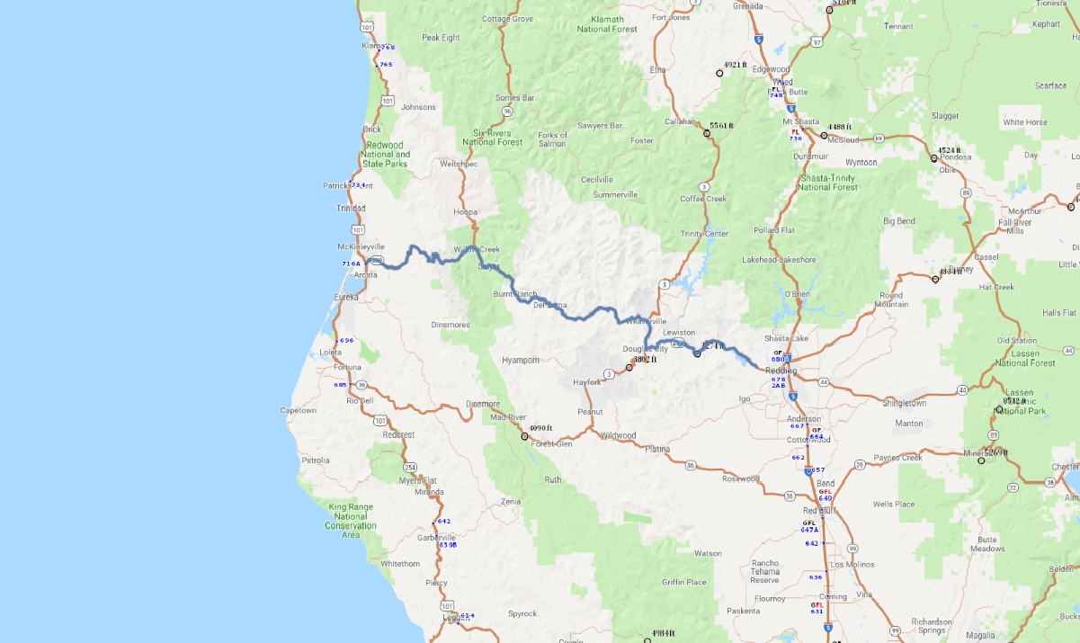
Print link

Trinity Scenic Byway

Road Trip

View on Map
71320522/iStockphoto.com
130.8 miles: 2 hours, 33 minutes
The stretch of SR 299 known as the Trinity Scenic Byway is one of Northern California’s most rewarding drives. Winding through the heart of Whiskeytown-Shasta-Trinity National Recreation Area and Shasta-Trinity National Forest, it offers beautiful scenery and recreational opportunities galore, including rafting, kayaking and angling for salmon and steelhead trout.
Map pin
Road trips stop
1
130.8 miles: 2 hours, 33 minutes
From Shasta SR 299 follows the northern shore of Whiskeytown Lake, climbs Buckhorn Summit and then descends toward the Trinity River. The historic mining town of Weaverville is worth a stop for its beautifully preserved architecture. The byway parallels the river’s course, its crystal-clear waters set against a backdrop of pine, fir and hemlock forests.