Print link

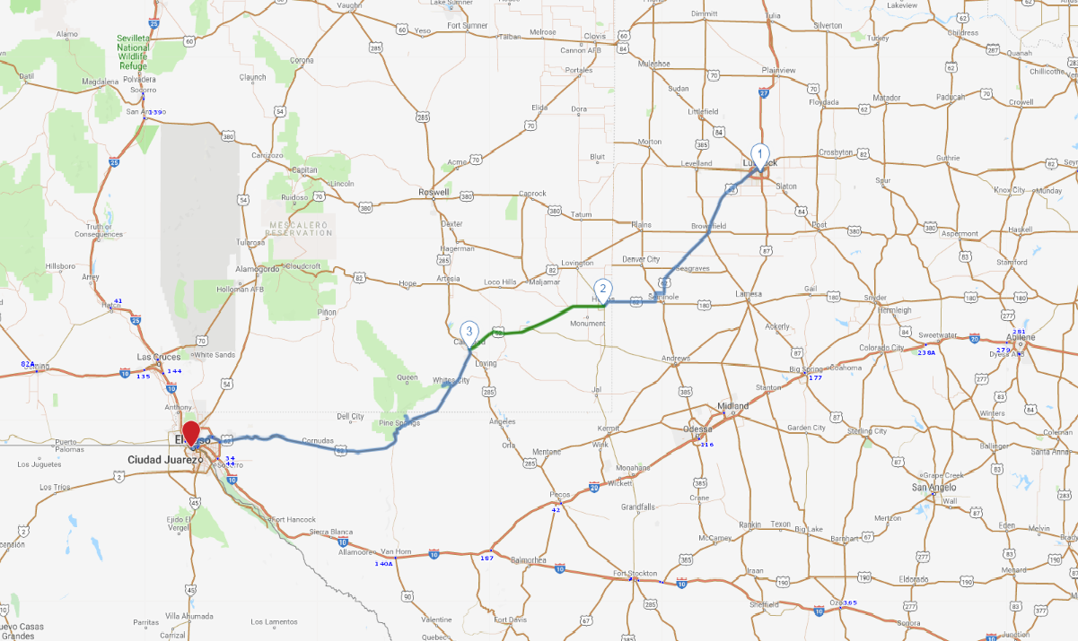
Lubbock to El Paso

Road Trip

View on Map
flickr/Beau Rogers
378.3 miles: 6 hours, 38 minutes
Set out on a Southwestern adventure, with a route that will take you through the sweeping plains of West Texas, over the Pecos River, above deep New Mexico caverns, along the picturesque Guadalupe Pass, near the shores of the Rio Grande and into a U.S./New Mexico border town.
Map pin
Drive trips stop
flickr/Kent Kanouse
1
Lubbock, TX to Hobbs, NM
114.4 miles: 1 hours, 56 minutes
From Lubbock, a town with both agricultural and rock ‘n’ roll roots, you’ll follow US 62/82 through the level, high plains of the Llano Estacado area. Surrounded by horizon, the topography makes for great sunsets. Continuing along US 62/180, you’ll cross the New Mexico border and soon begin spotting signs bearing the names of many oil companies headquartered in Hobbs.
Drive trips stop
flickr/Kimberly Vardeman
2
Hobbs, NM to Carlsbad, NM
71.0 miles: 1 hours, 11 minutes
US 62/180 cuts across the southeast corner of New Mexico. The scenery here is open and expansive, with prairies melting into the horizon and farmlands stretching as far as the eye can see. You’ll drive over the Pecos River shortly after entering Carlsbad, a town surrounded by well-irrigated fields of cotton, alfalfa and vegetables.
Drive trips stop
flickr/Patrick Alexander
3
Carlsbad, NM to El Paso, TX
192.9 miles: 3 hours, 30 minutes
After you pass Carlsbad Caverns National Park on US 62/180, the Guadalupe Mountains become visible to the right of the roadside. Mountains tower above the desert and the terrain takes on a rocky appearance along the Guadalupe Pass scenic byway, which extends from the New Mexico/Texas border to Salt Flat, Texas. Warm, dry El Paso is a popular winter tourist destination on the Mexican border.