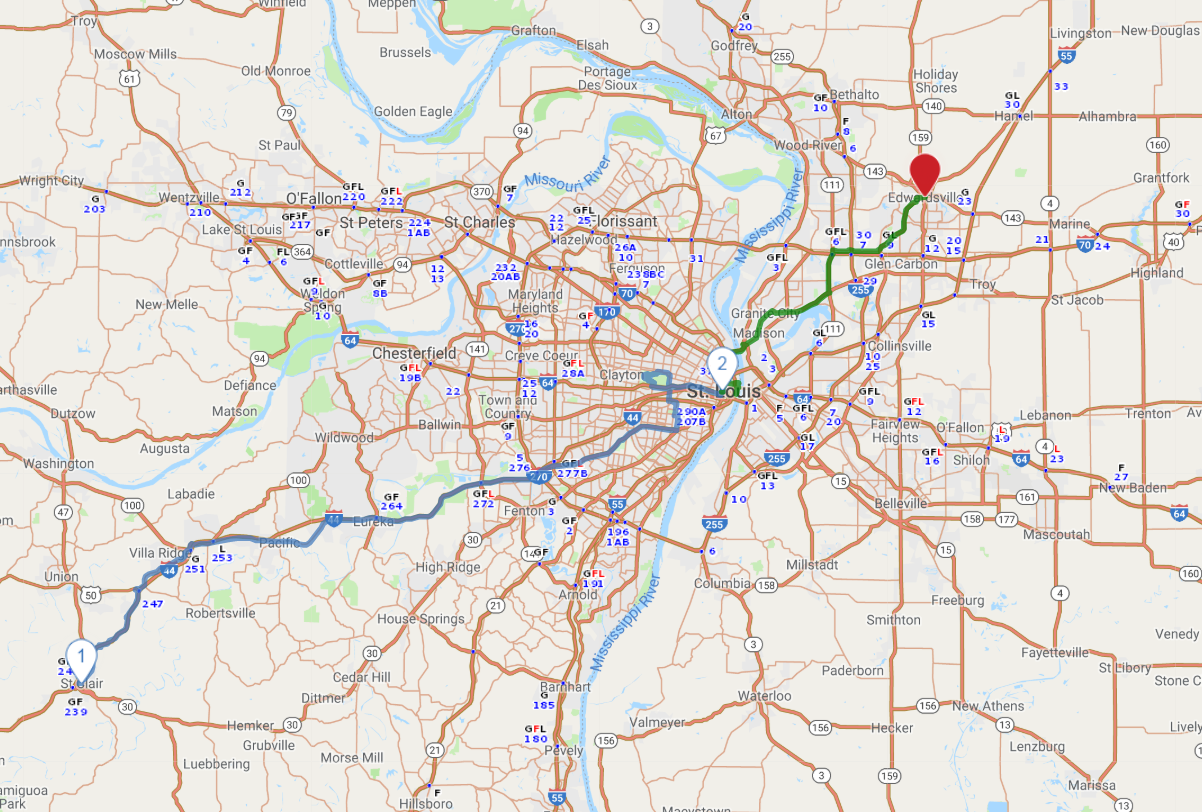
Print link

Route 66 - Eastern Missouri

Road Trip

View on Map
flickr/Robyn Lee
88.3 miles: 3 hours, 5 minutes
“The Mother Road” wraps up its trek across the breadth of The Show Me State as it heads toward the Illinois border. There are several Route 66 icons in and around St. Louis, including Ted Drewes, a frozen custard stand that's been in business since 1929. A concrete (think extra thick milkshake) at Ted's is a St. Louis summertime tradition.
Map pin
Drive trips stop
Courtesy of Missouri Botanical Garden
1
St. Clair, MO to St. Louis, MO
61.5 miles: 1 hours, 53 minutes
After leaving St. Clair, you won't spend much time on I-44 before reaching the outer St. Louis suburbs. En route on old Route 66 is the site of Times Beach, founded in the 1920s as a Meramec River resort. A toxic waste contamination in the early 1980s rendered the town uninhabitable; the pollution was cleaned up and today the area is Route 66 State Park.
Drive trips stop
Getty Images/Jeremy Woodhouse
2
St. Louis, MO to Edwardsville, IL
26.8 miles: 1 hours, 11 minutes
Following old Route 66 through St. Louis can be maddening, since several streets have a “66” connection. Historic Chain of Rocks Bridge—now a mile-long hiking and biking trail just south of I-270—was the former Mississippi River crossing point. Don’t leave St. Louis without visiting The Arch, symbolic “gateway to the West.”