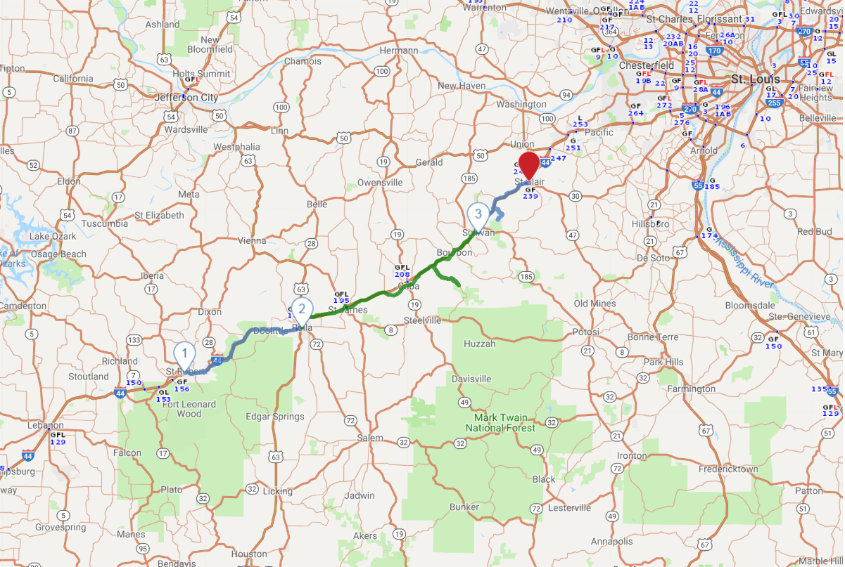
Print link

Route 66 - Central Missouri

Road Trip

View on Map
flickr/Jeff Weese
107.3 miles: 2 hours, 57 minutes
Missouri license plates bear the apt nickname the “Show Me State” on this stretch of Route 66, which cuts through the heart of the Ozarks. Pretty natural scenery—rock bluffs, streams and lush valleys—is interrupted by small towns with hard-to-forget names like Bourbon and Cuba. Mom-and-pop motor courts and other vintage sites lure motorists off the historic Mother Road.
Map pin
Drive trips stop
Shutterstock.com/InsatiableWanderlust
1
St. Robert to Rolla
28.3 miles: 45 minutes
An engineering triumph in its day, a 94-foot-deep cut in Hooker Hill resulted in a new four-lane section of Route 66 in 1942. Sadly, the realignment bypassed the Devil’s Elbow area, named after a perilous curve in the Big Piney River. Take a detour for breathtaking scenic views and timeworn landmarks, then continue eastward through a portion of Mark Twain National Forest.
Drive trips stop
Courtesy of Missouri Division of Tourism
2
Rolla to Sullivan
56.1 miles: 1 hours, 32 minutes
Departing Rolla, you’ll skirt the eastern edge of Missouri University of Science and Technology, attended by nearly 9,000 students. The next community down the line, St. James, shelters several wineries. Cuba, about midway between Rolla and Sullivan, boasts 12 murals; viewable from the road, they depict larger-than-life subjects like Amelia Earhart and Bette Davis.
Drive trips stop
aetb/iStockphoto.com
3
Sullivan to St. Clair
22.9 miles: 40 minutes
Stop and enjoy such recreational activities as canoeing and fishing or “get your kicks” at campy attractions highlighting Missouri’s most famous gunslinger, Jesse James. Formerly motels, aging buildings from Route 66’s heyday dot the tract as you approach St. Clair. Once there, snap a pic of the city's twin water towers stamped with the gag labels “Hot” and “Cold.”