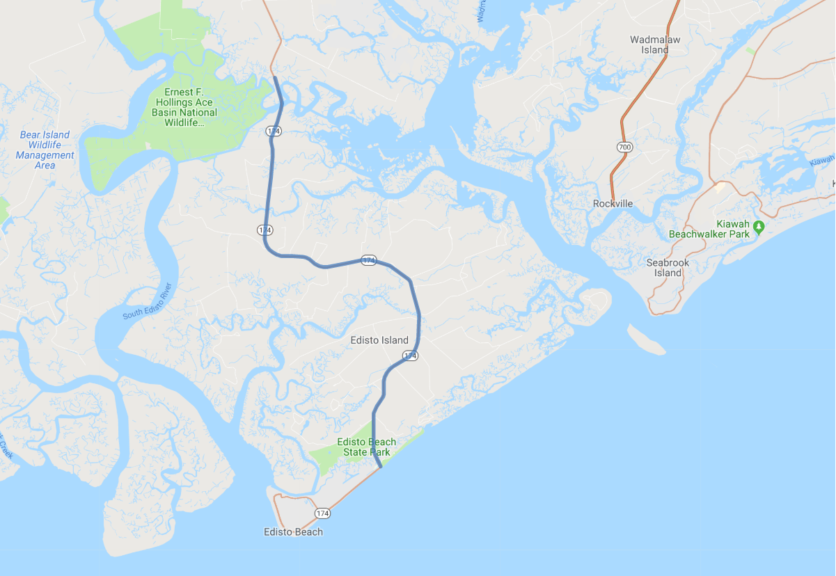
Print link

Edisto Island National Scenic Byway

Road Trip

View on Map
Stacy Speckman/iStockphoto.com
13.7 miles: 17 minutes
Meandering through the barrier island Lowcountry, Edisto Island National Scenic Byway takes you past marshes veined by tidal creeks and maritime forests to surf crashing on the beach and sand dunes marking the end of the byway. Historic churches, crop fields and rural homes carve out small plots of land in the serene, natural beauty along SR 174.
Map pin
Road trips stop
1
13.7 miles: 17 minutes
Spanish moss-draped oak tree canopies create foliage tunnels in contrast to the extensive salt marsh vistas that dominate Edisto Island National Scenic Byway. The teal water at the Atlantic Ocean shoreline and tannin-stained maroon creeks are great spots to view shore and wading birds. Browse for local produce and sweetgrass baskets at roadside stands.