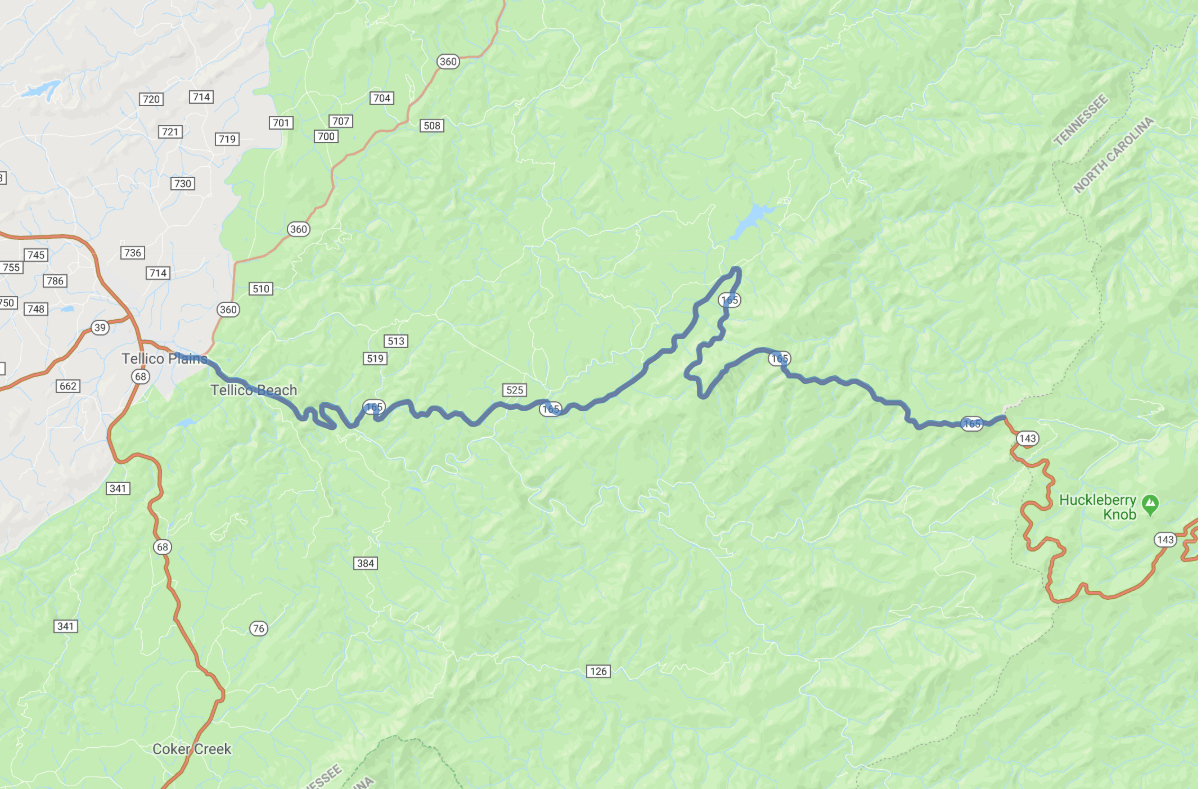
Print link

Tennessee's Cherohala Scenic Skyway

Road Trip

View on Map
flickr/Jim Liestman
23.1 miles: 33 minutes
This scenic byway's name comes from two national forests, the Cherokee and the Nantahala. The two-lane road climbs to elevations topping 5,000 feet as it winds through eastern Tennessee and western North Carolina, with 15 scenic viewpoints along the way looking out over lushly forested mountains. October, the peak of fall foliage season, is a great time to visit.
Map pin
Road trips stop
1
23.1 miles: 33 minutes
From Tellico Plains, TN, take a short detour off the byway (east via SR 165) and follow the signed turnoff to Bald River Falls, where you can see the cascading water from your car. In North Carolina, Hooper Bald is a popular stop for hikers and picnickers. And on clear spring and fall days the view from the Santeetlah overlook, the byway's highest point, is amazing.