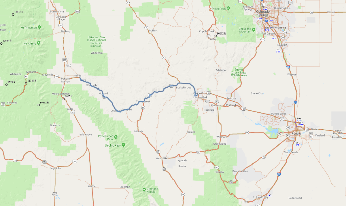
Print link

Colorado's Arkansas River Scenic Highway

Road Trip

View on Map
DanielBendjy
56.0 miles: 1 hours, 5 minutes
From Salida east to Cañon City, the Arkansas River Scenic Highway (US 50) sticks close to its namesake river as it snakes through the rocky terrain of central Colorado’s Bighorn Sheep Canyon. To the west, the beautiful Sangre de Cristo Mountains soar 14,000 feet high, forming a sawtooth wall in the distance.
Map pin
Road trips stop
1
56.0 miles: 1 hours, 5 minutes
After hugging the Arkansas River on its way through rugged Bighorn Sheep Canyon, the Arkansas River Scenic Highway (SR 50) leaves the river behind as it flows into Royal Gorge, whose walls soar 1,000 feet over churning rapids. Before rejoining the river in Cañon City, the route parallels Skyline Drive—a scenic one-lane road atop a narrow ridge above the town.