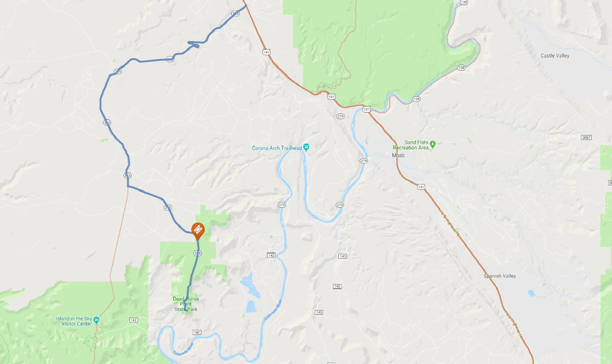
Print link

Dead Horse Mesa Scenic Byway

Road Trip

View on Map
Jason Alan/iStockphoto.com
22.5 miles: 30 minutes
Dramatic mesas and buttes rise high above SR 313, aka Dead Horse Mesa Scenic Byway, which leads to Dead Horse Point State Park. A series of hairpin turns begins the ascent to the overlook, where amateur photogs snap stunning panoramas of the serpentine Colorado River 2,000 feet below. As the seasons change, the cliffs glow with varying shades of red, violet and gold.
Map pin
Road trips stop
1
22.5 miles: 30 minutes
The access road for Dead Horse Point State Park, SR 313 affords an awesome trip through red rock canyon country. The park—named for a legend about a corralled band of wild mustangs left to die in the valley—rises high above the Colorado River. It offers campgrounds, trails and overlooks from which to admire the area’s sculpted pinnacles, buttes and cliffs.