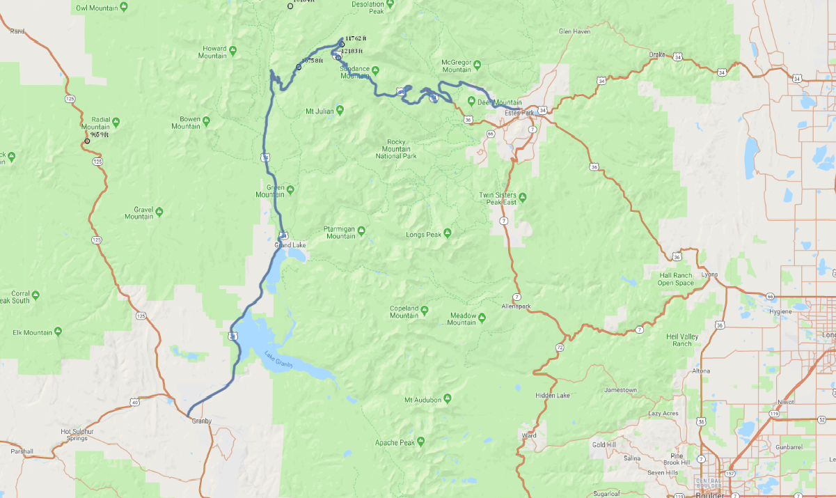
Print link

Trail Ridge Scenic Road

Road Trip

View on Map
flickr/Andrew E. Russell
61.9 miles: 1 hours, 44 minutes
Seasonal route: The road is subject to closure in winter. The main route through Rocky Mountain National Park, Trail Ridge Road takes you on an amazing journey on one of the country's highest roads, topping out at 12,183 feet and crossing the Continental Divide. From Estes Park on the east to Grand Lake at the park's southwest entrance, this twisting, two-lane scenic byway reveals breathtaking vistas at nearly every turn.
Map pin
Road trips stop
1
61.9 miles: 1 hours, 44 minutes
This route follows Fall River Road near Estes Park and Trail Ridge Road, passing through forests of ponderosa pine, aspen and fir before ascending to windswept tundra among Rocky Mountain National Park's tallest peaks. Several turnouts offer photo ops of incredible vistas and serve as trailheads for hikes into the park's unspoiled backcountry.