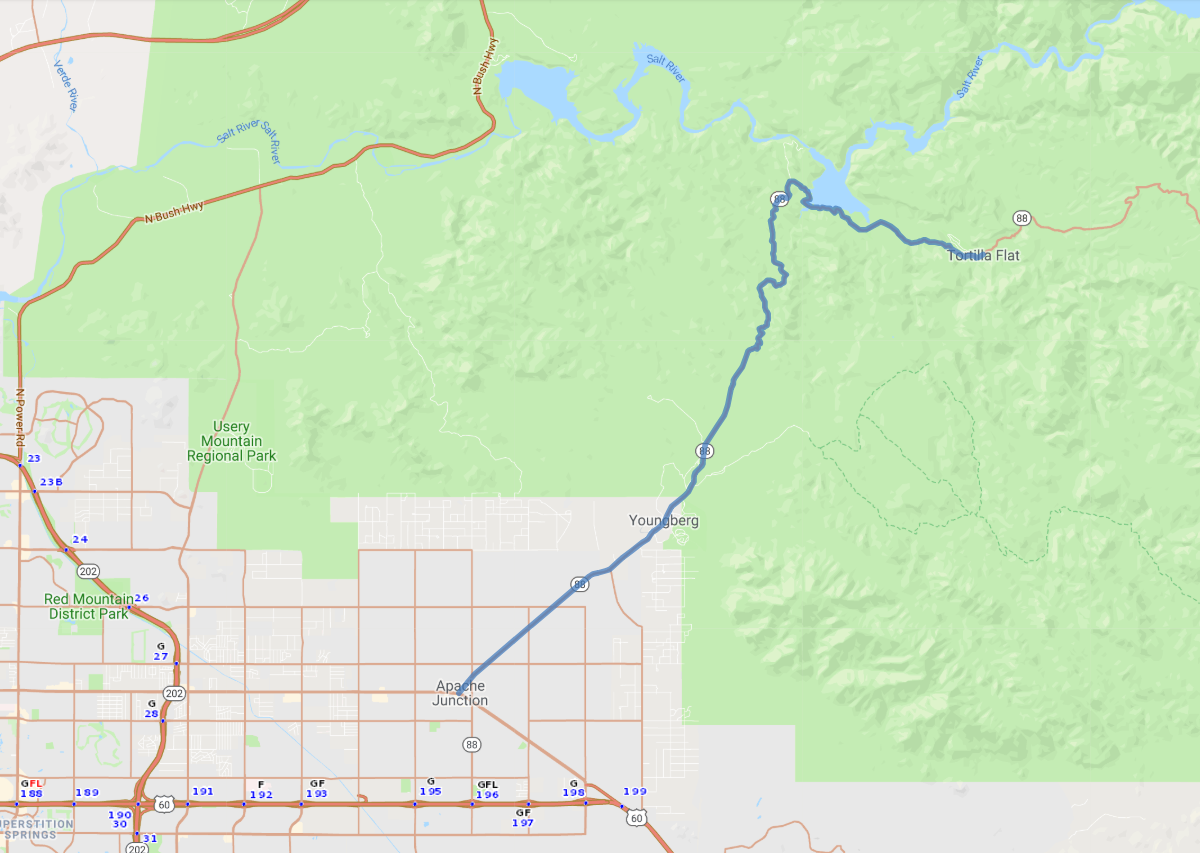
Print link

Apache Trail Historic Scenic Byway

Road Trip

View on Map
tonda
17.0 miles: 32 minutes
Apache Trail Historic Scenic Byway (SR 88) climbs a narrow trail up the 2,304-foot Apache Gap inside the Tonto National Forest. After traversing the flat desert, the byway twists and turns around the mountains offering spectacular vistas of amazing rock formations, cacti and scrub brush, and ancient petrified trees.
Map pin
Road trips stop
1
17.0 miles: 32 minutes
Reservoirs along Apache Trail Historic Scenic Byway (SR 88), including Canyon Lake, are luminous blue pools juxtaposed with the rust-colored desert terrain. Goldfield Mountains’ rugged, volcanic peaks rise in the west; Superstition Mountains’ jagged, sheer cliffs rise in the south. At Tortilla Flats, look for a giant saguaro cactus, a popular western desert symbol.