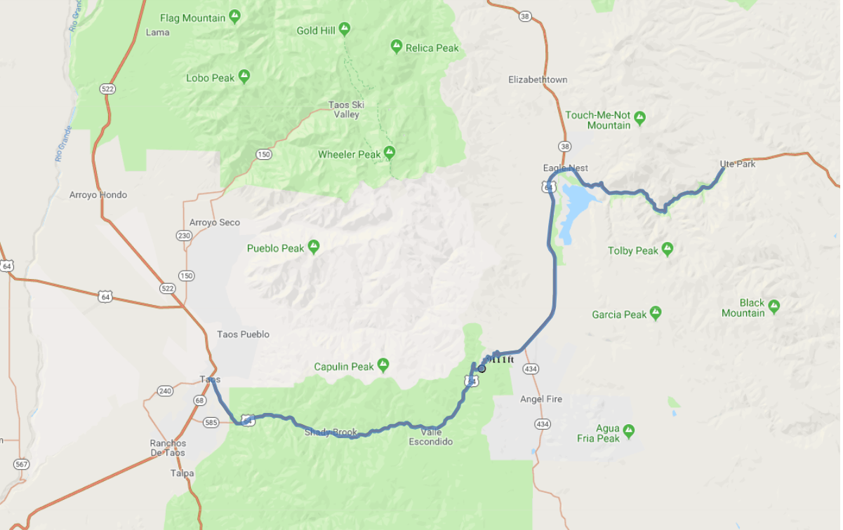
Print link

Enchanted Circle Scenic Route 64

Road Trip

View on Map
HairFacePhoto/iStockphoto.com
41.4 miles: 1 hours, 4 minutes
Explore the natural splendor of New Mexico's mountain country on this journey inside a forested wonderland on US 64 from Taos to the eastern border of Cimarron Canyon State Park. This 41-mile route is part of the longer Enchanted Circle Scenic Byway that loops around 13,161-ft. Wheeler Peak through the Sangre de Cristo Mountains.
Map pin
Road trips stop
1
41.4 miles: 1 hours, 4 minutes
The giant, sandy-colored rocky cliffs of the Sangre de Cristo Mountains edge the two-lane US 64; the green peaks of the range occupy the distant scenery. Views from Palo Flechado Pass, where the elevation is 9,111 feet, are particularly impressive. Eagle Nest Lake contrasts with the otherwise earth tone-dominated scenery. Several historical markers are on the route.