
Route 66 - Eastern Arizona Road Trip
Road Trip
View on Map
Shutterstock.com/Ryan DeBeradinis
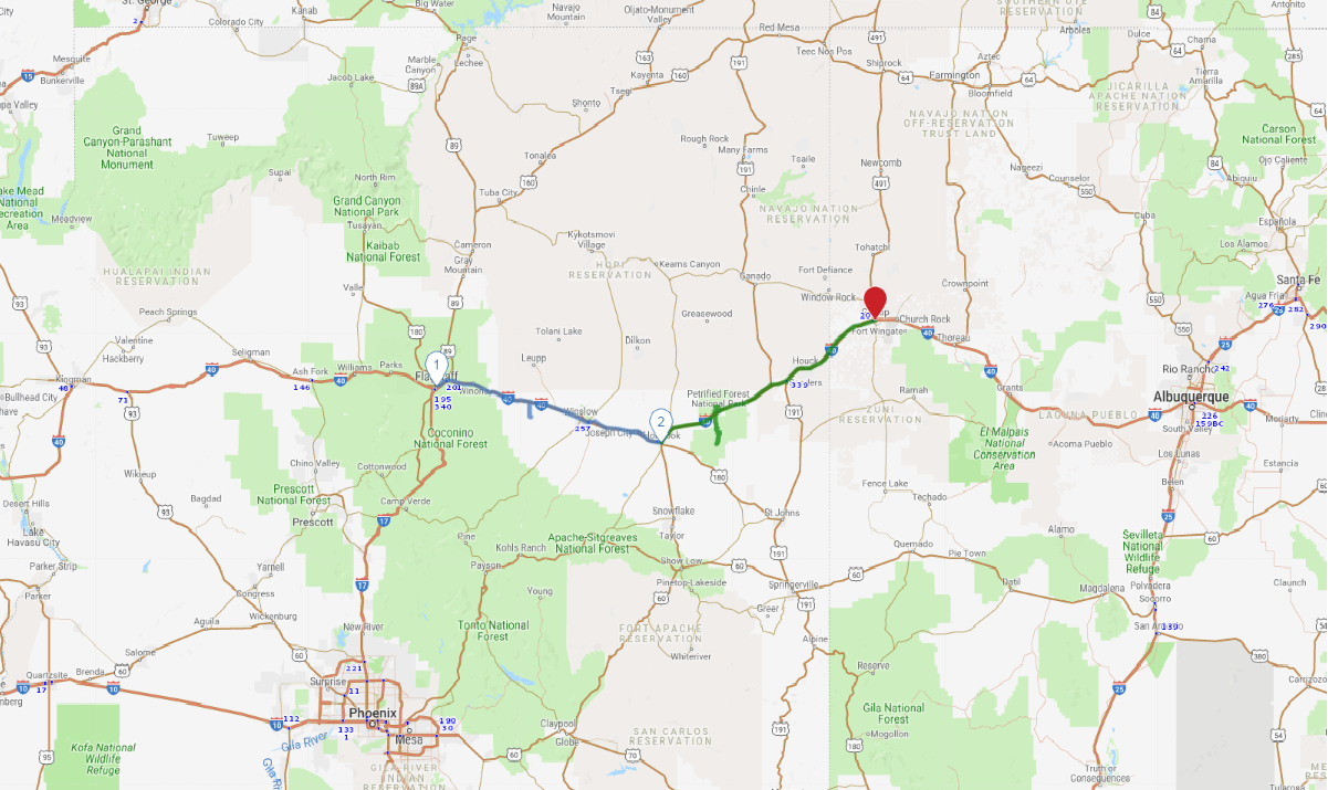
236.2 miles:
5 hours,
13 minutes
Leaving Flagstaff, the lofty San Francisco Peaks give way to desert expanse as you skirt the Navajo Indian Reservation’s southern border. A short detour leads to an impressive, nearly mile-wide meteor impact crater. Up ahead are the towns of Winslow (of the Eagles’ “Standin’ on a corner in Winslow, Arizona” fame) and Holbrook, both rife with Route 66 nostalgia.

Carolyn/iStockphoto.com
1
Flagstaff, AZ to Holbrook, AZ
103.2 miles:
2 hours,
15 minutes
Leaving Flagstaff, the lofty San Francisco Peaks give way to desert expanse as you skirt the Navajo Indian Reservation’s southern border. A short detour leads to an impressive, nearly mile-wide meteor impact crater. Up ahead are the towns of Winslow (of the Eagles’ “Standin’ on a corner in Winslow, Arizona” fame) and Holbrook, both rife with Route 66 nostalgia.

Photogrick/iStockphoto.com
2
Holbrook, AZ to Gallup, NM
133.0 miles:
2 hours,
57 minutes
This leg’s primo stop, Petrified Forest National Park can easily occupy a half-day. Take the park’s scenic drives to see colorful pockets of fossilized wood. Along I-40 near the state line, fans of Route 66 kitsch will find a collection of exceptionally cheesy trading posts (rubber tomahawk, anyone?). On the horizon is Gallup, gateway to the “Land of Enchantment.”

