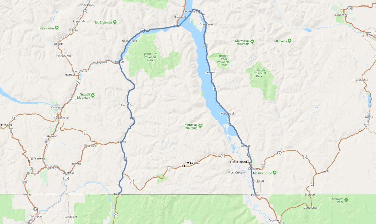
Print link

British Columbia's International Selkirk Scenic Loop

Road Trip

View on Map
Solidago/iStockphoto.com
124.6 miles: 3 hours, 25 minutes
The International Selkirk Scenic Loop—so named because it passes through the Selkirk Mountains in both Canada and the U.S.—follows British Columbia’s PR 3A along the shores of lovely Kootenay Lake for about half its journey. The route even crosses the lake via a free ferry on this scenic drive’s northernmost leg and traces the western slope of the Selkirk range on its return leg south.
Map pin
Road trips stop
1
124.6 miles: 3 hours, 25 minutes
Bulky mountains loom over the far shore of Kootenay Lake as you drive PR 3A along the eastern edge of the Selkirk Range, sometimes only a few feet from lapping waves. Travelers are treated to even better views as they ride the free car ferry between Kootenay Bay and Balfour. Dense stands of cedar, hemlock and pine crowd the roadside once the route leaves the lake behind.