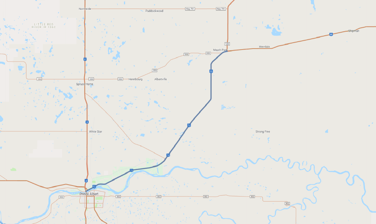
Print link

Saskatchewan's Scenic Route 55

Road Trip

View on Map
AAA/iStockphoto.com
East-west Highway 55 more or less divides Saskatchewan. To the south stretches one vast expanse of prairie, punctuated with undulating fields of golden grain. To the north the terrain changes markedly: Equally vast forests form an unbroken swath of green, dotted with blue lakes. This short drive northeast of Prince Albert offers a taste of both.
Map pin
Road trips stop
1
For travelers, Prince Albert is the gateway to Saskatchewan's north country. PR 55 follows the scenic shoreline of the North Saskatchewan River as far as Bateman Island before angling northeast toward Meath Park. The provincial nickname “Land of the Living Skies” is well deserved; in summer you'll see towering cumulus cloud formations, and sunsets are spectacular.