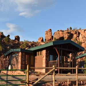
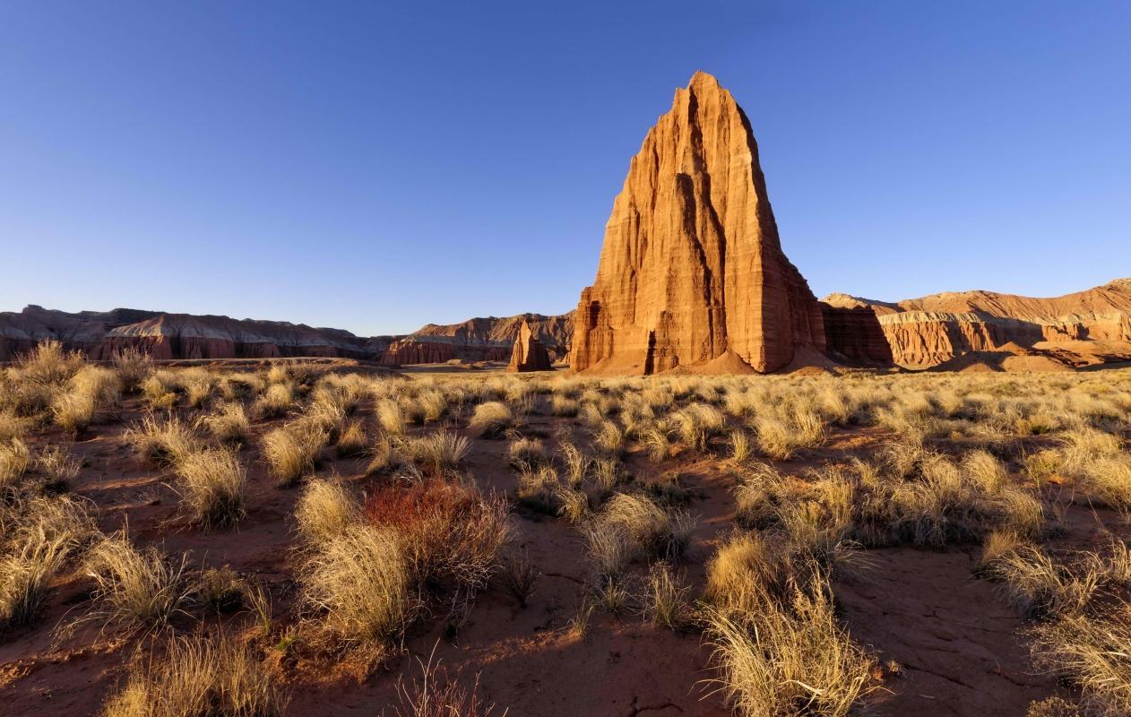
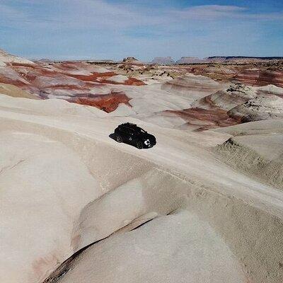
Five miles east of Torrey on SR 24, Capitol Reef National Park was named for reef-like cliffs capped by white Navajo sandstone formations that have eroded and now resemble the dome of the U.S. Capitol. Within the park is a spectacular section of the Waterpocket Fold, which extends some 100 miles southeastward from Thousand Lake Mountain to Lake Powell. The fold graphically illustrates how the Earth's surface was built, folded and eroded over time. Numerous eroded basins, or “pockets,” hold rainwater necessary to maintain desert life—hence the term “waterpocket fold.” Learn More...