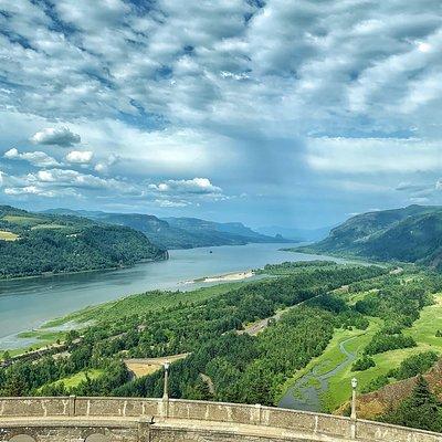
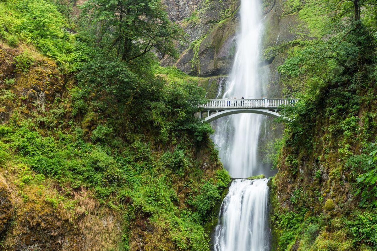
Home / Travel Guides - Portland / Columbia Gorge Tour

More About
Portland, OR

Columbia Gorge TourBy Greg Weekes

The mighty Columbia River flows 1,243 miles from its headwaters in British Columbia to the Pacific Ocean, in the process carving a passage through volcanic rock that follows much of the Oregon/Washington border. It also is a must-visit spot for anyone interested in adventure travel. Running for about 80 miles from the town of Troutdale east to Biggs is the Columbia River Gorge, characterized by towering basalt cliffs and sweeping panoramic views. The Oregon side also boasts the largest concentration of easily accessible waterfalls on the North American continent.

The creation of the Columbia River Gorge National Scenic Area in 1986 preserved some 253,500 acres of this breathtakingly scenic natural region for the enjoyment of visitors, so lace up your walking shoes, hop in the car and check it out. Based solely on drive time it's possible to cram this itinerary into a single day of your vacation, but why rush through paradise?

Day 1Get up bright and early and have breakfast at Milo's City Cafe, on Portland's east side at 1325 N.E. Broadway (two blocks north of Lloyd Center Mall). Owned by two local residents, Milo's has a spiffy interior that's a step up from typical diner décor and some choices that go beyond the usual omelets (try the smoked salmon hash with potatoes, onions, bell peppers and sour cream). You might also want to pack a lunch or bring along fruit and snacks, since restaurants are few and far between and you'll be busy exploring nature.

From Milo's it's just a short distance to I-84/US 30 east. To the left, peeking through alternating ridges that form the western foothills of the Cascades, is the snowy dome of Mt. Adams; also visible (if the weather's clear) is the sculpted peak of Mount Hood. The gorge's western end is a deep cleft through which the Columbia River flows.

Get off I-84 at exit 22 and follow signs to the Historic Columbia River Highway . The first modern paved highway built in the Pacific Northwest, it opened in 1915. Running parallel to I-84 but below it, the road follows the land's natural contours, winding in and out of lush green woods, crossing moss-flecked stone bridges and providing direct access to an awesome series of waterfalls.

Just east of the town of Corbett, take the signed turnoff to the Portland Women's Forum State Scenic Viewpoint parking lot. Chanticleer Point's elevated perspective provides your first grand vista of the gorge, with the river framed by tawny bluffs on the Washington state side and thick growths of trees on the Oregon side. Note the building in the distance perched atop its own promontory—that's the Vista House.

About a mile past this parking lot is the signed turnoff (on the right) for Larch Mountain. We highly recommend this side trip, especially if it's sunny and visibility is good. The woodsy drive is along a winding two-lane road that climbs the mountain. After about 15 miles the road ends at a parking lot. (During the winter months this road may be closed at the Oregon National Forest boundary, 4 miles below the summit.)

There are several hiking trails, but take the quarter-mile trail that leads to Sherrard Point. You'll climb a couple of flights of wood-plank steps, but it's nothing too strenuous. The trail ends at a lookout point, enclosed by a chain-link fence. This rocky perch is 4,056 feet above sea level and looks out over a stunning 360-degree view of solid green forest, with five mountain peaks (St. Helens, Rainier, Adams, Jefferson and Hood) looming on the horizon. Note: If you're afraid of heights, sit on the bench provided and don't look over the top of the fence; you can still enjoy the view without freaking out too much.

From Larch Mountain, go back to the Historic Columbia River Highway and continue east a few miles to the exit for Crown Point State Park and the Crown Point-Vista House State Scenic Corridor . This octagonal stone structure stands 733 feet above the river. The view is amazing: To the east the Cascades look down on the river; back toward the west, cliffs retreat and wooded islands dot the Columbia's broad reaches. There are historical displays in the building's visitor center, and staff workers are quite knowledgeable about the gorge. The Vista House is a good rest stop.

Now you're ready for some waterfall action, which is perfect when you need fun things to do with friends; there are literally dozens along a 20-mile stretch of the highway. Many of them can conveniently be viewed via short walks from parking lot turnoffs, all prominently signed. Latourell Falls, first in the series, is one of the most easily accessible (watch for the Guy W. Talbot State Park sign; the parking lot is right off the road). Reached by a 10-minute walk along a shady paved path, it's a beauty—a plunge fall that cascades straight as an arrow into a small pool. The wooden footbridge that crosses the creek is a good vantage point for photos.

Bridal Veil Falls is in Bridal Veil State Park. Located in a shady glen, this two-tiered fall also drops into a pool. The round-trip hike is two-thirds of a mile. The trail descends to the falls, but you'll have a moderate climb coming back. There are benches along the way where you can stop and catch your breath.

The king of gorge waterfalls is undoubtedly Multnomah Falls, a two-tiered drop with a total height of 620 feet. From the parking area it's a short uphill walk to the Benson Bridge, a stone arch directly facing the falls that offers a perfect view. If you want to hoof it to the very top, be advised that it's a steep trek up a narrow paved trail that zigzags repeatedly. And to be honest, the view of the falls is much better from the bridge below. But you'll certainly get your exercise, and the expansive vistas of trees and the Columbia River in the distance are very pretty.

If all that climbing works up an appetite and you wonder where to eat, grab a late lunch in the restaurant at the Multnomah Falls Lodge. Otherwise, make do with a quick bite from one of the snack vendors and press on toward Hood River. Horsetail Falls, about 2.5 miles east of Multnomah Falls, is also worth a look; this 175-foot drop is near the parking lot and is easily viewed.

The Historic Columbia River Highway rejoins I-84 at the town of Dodson. From here to Hood River the scenery—conifers, mountains and river views—is beautiful. At Bonneville is Bonneville Dam, westernmost of a series of dams along the river. At Bonneville Lock, ships can bypass the dam and negotiate the 60-foot elevation change between the river and the reservoir created by the dam.

Hood River is the “metropolis” of the Hood River Valley, famous for its pear, apple, cherry and peach orchards. The fruit-packing industry is still important here, but Hood River has become better known—courtesy of the persistent winds that blow through the gorge—as an ideal spot for windsurfing. Whitewater rafting, kayaking, hiking and mountain biking are big here, too.

Relax over a leisurely dinner at Stonehedge Gardens . A former summer getaway, this lovely old country inn on 6 secluded acres of land was converted to a restaurant in 1977. Dine on the enclosed porch or, if the weather's nice, the outdoor terrace. Start with an appetizer of crab cakes or grilled goat cheese and roasted garlic, then move on to seared ahi tuna, chicken cordon bleu or portobello mushroom ravioli with walnuts and Hood River pears. And be sure to indulge in the house dessert, bread pudding topped with crème brûlée and then flamed. You've earned it today.

Day 2Stroll Hood River's compact, walkable downtown. First stop: Bette's Place (416 Oak St. in the Oak Mall). They serve breakfast all day, so order something good like the Dungeness crab omelet, filled with chunks of crab and slices of avocado. But what Bette's is really known for are cinnamon rolls; big suckers oozing sticky caramel and anointed with cream cheese frosting, they're rightly praised. Pick up a couple of freshly made rolls to take with you.

The downtown core is sandwiched along Oak and Cascade streets from 1st to 6th streets. Many of the century-old brick storefronts that were once feed stores and other businesses have been renovated and now house art galleries, gift and clothing boutiques, and outfitters serving the outdoor adventure crowd. Many stores specialize in locally created and environmentally responsible products. Reminder: Bring a stack of quarters for the metered street parking.

Duck into the Ruddy Duck (504 Oak St.), a mini department store that sells a little bit of everything. Made in the Gorge (108 Oak St.) has jewelry, pottery and crafts. Knitters can inspect the Northwest-produced dyed yarns at Knot Another Hat (11 Third St.) while non-knitters gaze out on the spectacular view of the Hood River. Then take a peek at the lobby of the Hood River Hotel (102 Oak St.), which has a lofty ceiling, big windows and decorative touches that recall its early 20th-century heyday.

Now you're ready to hit the road again. Pick up I-84, head east and watch how dramatically the vegetation changes over the next 5 miles or so. You're passing through the transition zone from the moist, humid climate of the west gorge on the west side of the Cascades (one of the reasons for all those waterfalls) to the drier bunchgrass prairies that characterize the east gorge.

Get off I-84 at the Mosier exit. This 9-mile section of US 30 between Mosier and Rowena, known as the Rowena Loop Highway, was part of the original Historic Columbia River Highway. You'll have to really slow down, but this stunning detour is well worth it. The two-lane road climbs through clumps of oak trees toward Rowena Crest, a plateau some 700 feet above the Columbia River. Over time alternating lava flows and catastrophic floods helped to create the area's topography.

The winding ascent passes peach trees and offers views of bluffs overlooking the river. It then heads inland, twisting and turning around blind curves that open up to reveal breathtaking vistas. Park at the Rowena Crest Viewpoint (watch for the sign) and take in the 360-degree panorama of the river and the buff-colored hills that rise on the Washington side. The wind blows almost constantly here, so be careful while you give your camera a workout.

The viewpoint is within the Tom McCall Nature Preserve, a protected area of grassland crisscrossed by two hiking trails. The preserve's spring wildflower display is particularly impressive, when the landscape is brightened by the likes of lupine, shooting stars and Indian paintbrush. April and May are the best wildflower months. You might also hear the melodious song of the Western meadowlark, Oregon's state bird.

From Rowena Crest Viewpoint east to the town of Rowena the route is a series of switchbacks (the Rowena Loops), so drive carefully as you admire the spectacular rock, bluff and river views that unfold with each sharp turn. Trees become increasingly scarce and sagebrush increasingly common in this dry, ceaselessly wind-whipped landscape. At Rowena you can rejoin I-84 or stay on US 30 to press on to The Dalles.

Either route will take you to the Columbia Gorge Discovery Center and Museum , a must-stop if you're interested in the region's human history and especially the geologic forces that helped create the gorge. At the close of the last Ice Age, the Pacific Northwest was affected by some of the planet's greatest scientifically documented floods. Towering masses of ice and rock pulverized their way across eastern Washington state, stripping away much of the soil and carving deep channels, or coulees, into the underlying basalt bedrock. The Columbia Gorge was gouged by floodwaters up to 1,000 feet deep, and for a time the site of present-day Portland lay beneath 400 feet of water. Nowhere else on Earth, in fact, do such singular landforms carved from repeated massive flooding exist on this grand a scale.

The Dalles (rhymes with “pals”) sits on the left bank of a pronounced southward bend of the Columbia. The name, derived from the French word dalles, which means “flagstones,” refers to a series of basalt-lined channels upstream. These turbulent waters forced early river travelers to detour around them.

Evidence suggests that the area around The Dalles has been inhabited for more than 11,000 years. In prehistoric times Native American tribes gathered on the banks of the river to fish, trade and commune. The city itself is rich in history. Lewis and Clark stayed here in October 1805 on their great westward exploration, and again the following year on the homeward trek. A mission was established in 1838. The site became a strategic point on the Oregon Trail 5 years later. A post office opened in 1851. Stop by the Original Wasco County Courthouse , then take a walk along 2nd Street between Taylor and Liberty streets and peruse the historical murals painted on many of the buildings.

Day 3Before beginning the return trip to Portland, head to Sorosis Park for some fresh air and exercise (to get there take Trevitt Street south to W. Scenic Drive). The park occupies the slopes of a tree-covered hill just south of The Dalles, and from this vantage point you get a dramatic view of the city's riverside setting, with snowcapped mountains Hood and Adams on the horizon.

The views between Hood River and The Dalles are perhaps the best of the entire trip, and the perspective going west on I-84 is different than it is traveling east. The highway runs right along the river, with imposing naked bluffs looming up on the Washington side. If you really enjoyed the Rowena Loop Highway detour, get off I-84 at the Rowena exit (exit 76) and take US 30 west to Mosier; the 9-mile scenic stretch is equally rewarding going in the opposite direction.

Just east of Hood River is the junction with SR 35. Turn left here and head south. A quarter of a mile south of the I-84/SR 35 junction is the turnoff (East Side Road) for Panorama Point County Park. Take another left here and continue past fruit trees and front yards filled with rose bushes to the park entrance. Turn right and follow the short, sharply winding drive as it ascends to a parking lot and lookout point. On a clear day, the view of Mount Hood and the orchard-filled Hood River Valley is breathtaking.

Backtrack to SR 35 and continue south. Agriculture is big business here, and this is a really gorgeous drive through fruit orchards and farmland, with Mount Hood frequently in view. What you'll see depends on the season. In April, thousands of acres in the valley are carpeted with pink and white pear, apple and cherry blossoms. With special events from pancake breakfasts to antique sales and the best photo opportunities of the year, this is a particularly busy month.

Harvest season extends from June through October. Strawberries are first, followed in succession by cherries, raspberries, blueberries, apricots, peaches and Bartlett pears. August brings Gravenstein apples, lavender, herbs and tomatoes. September is another busy month. The boughs of Anjou and Bosc pear trees are weighed down with golden, red-tinged fruit, and local farms and orchards offer tours, hay wagon rides, barbecues, meet-and-greets with cuddly animals and other family activities. October brings chestnuts, pumpkins and lots of u-pick opportunities.

Looking down on the valley is 11,239-foot Mount Hood, Oregon's highest point and the fourth-highest mountain in the Cascade Range. Due to its proximity the snow-covered peak is a prominent backdrop. Mount St. Helens is visible from the valley as well.

The valley's farms and orchards welcome visitors; most are open seasonally from August to early November. The fruit stands are great places to pick up apples, pears or whatever else is being harvested, along with homemade jam, honey and fresh cider. For more information about what the valley has to offer, contact the Hood River County Fruit Loop; phone (541) 387-4769.

The landscape changes markedly as the valley floor is left behind. Thick growths of conifers replace orchards as SR 35 enters Mount Hood National Forest. Ski resort signs start to appear. Rocky outcrops rise up on either side of the highway, and bridges cross over the meandering east fork of the Hood River.

SR 35 ends at the junction with US 26 (take a right). Lofty, tree-covered ridges are a rugged contrast to the flat, fertile valley. The four-lane highway narrows to two lanes just outside the blink-and-you'll-miss-it hamlet of Rhododendron; notice how close the trees are to the road here. If you want or need to take a break, the town of Sandy has all the necessary pit stop amenities.

It's been an activity-filled 3 days, so once back in Portland why not opt for a casual and relaxed dinner in the Pearl District? The Deschutes Brewery & Public House (210 N.W. 11th Ave.). Mouthwatering elk burgers and stout brownies pair well with one of Deschutes' award-winning craft beers.

Read More

Portland, OR

Top AAA Diamond Hotels

AAA’s in-person hotel evaluations are unscheduled to ensure the inspector has an experience similar to that of members. To pass inspection, all hotels must meet the same rigorous standards for cleanliness, comfort and hospitality. These hotels receive a AAA Diamond designation that tells members what type of experience to expect.

Sponsored Listing

Members save up to 10% and earn Honors points when booking AAA/CAA rates!

Embassy Suites by Hilton Portland Downtown

319 SW Pine St. Portland, OR 97204

Book Now

Sponsored Listing

Members save 5% or more and earn Marriott Bonvoy™ points when booking AAA/CAA rates!

The Hi-Lo Hotel, Autograph Collection

320 SW Harvey Milk St. Portland, OR 97204

Book Now

Members save up to 10% and earn Honors points when booking AAA/CAA rates!

Embassy Suites by Hilton at Portland Airport

7900 NE 82nd Ave. Portland, OR 97220

Book Now

Members save up to 10% and earn World of Hyatt points when booking AAA/CAA rates! Members also receive free breakfast at Hyatt Place/Hyatt House with their World of Hyatt membership!

Hyatt Place Portland Airport/Cascade Station

9750 NE Cascades Pkwy. Portland, OR 97220

Book Now

Travel Information

City Population

583,776

Elevation

77 ft.

Sales Tax

Oregon levies no sales tax. The Portland area has a lodging tax of up to 14.5 percent.

Emergency

911

Police (non-emergency)

(503) 823-3333

Hospitals

Adventist Medical Center, (503) 257-2500; Legacy Emanuel Medical Center, (503) 413-2200; Legacy Good Samaritan Medical Center, (503) 413-7711; OHSU Hospital, (503) 494-8311.

Visitor Information

1132 S.W. Harvey Milk St. Portland, OR 97205. Phone:(503)427-1372 or (888)503-3291

Air Travel

Cheap airline flights can be found from cities all over the country.

Rental Cars

Several rental car agencies serve the Portland area. Hertz, (503) 528-7900 (airport), (503) 249-5727 (downtown) or (800) 654-3080, offers discounts to AAA members.

Rail Service

The Amtrak passenger train terminal is at 800 N.W. Sixth Ave.; phone (800) 872-7245.

Taxis

Cabs must be hired by phone or at taxi stations, although a few will answer a hail from the street in the downtown business district. Companies include Broadway Cab Co., (503) 333-3333; and Radio Cab, (503) 227-1212. Fares are metered. Most taxi services charge $3-$5 for one person for the first .1 mile then $2.60 for each additional mile and a $1 fee for each additional passenger.

Public Transportation

Transportation by bus, streetcar or light-rail is available in Portland.

call or visit a AAA Travel Agent Today!

Find a AAA Office

As a AAA member, you'll save even more. Your AAA Travel Agent will check to see if AAA Vacations is combinable with other AAA member benefits, plus cruise and tour past passenger discounts and benefits.

Not a Member?

Join Now