
Blue Ridge Parkway - North Carolina Road Trip
Road Trip
View on Map
DaleBHalbur/iStockphoto.com
303.8 miles:
8 hours,
52 minutes
Cherokee not only marks the western end of the 469-mile parkway but is the southern gateway to Great Smoky Mountains National Park. The town is loaded with Cherokee Indian history and culture, which you can experience at two outstanding attractions. The southern Appalachian Mountains backdrop along this leg is impressively rugged, and the views are spectacular.

Shutterstock.com/Daniel Korzeniewski
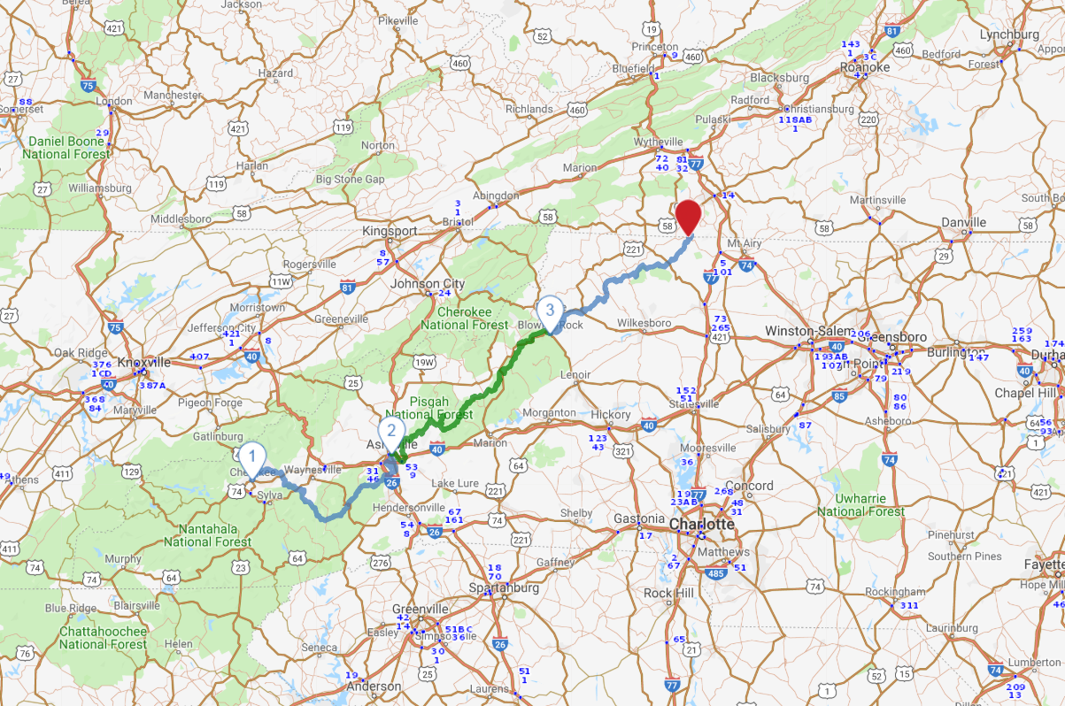
1
Cherokee to Asheville
100.2 miles:
3 hours,
10 minutes
Cherokee not only marks the western end of the 469-mile parkway but is the southern gateway to Great Smoky Mountains National Park. The town is loaded with Cherokee Indian history and culture, which you can experience at two outstanding attractions. The southern Appalachian Mountains backdrop along this leg is impressively rugged, and the views are spectacular.

Shutterstock.com/Cvandyke
2
Asheville to Blowing Rock
117.4 miles:
3 hours,
28 minutes
After bypassing the Asheville area the parkway follows the northern edge of Pisgah National Forest, where awesome views take in 6,000-foot mountain peaks. You’ll definitely want to stop along the way to hike or enjoy the great outdoors at a state park or recreation area. Attention leaf peepers: Fall foliage color is at its glorious peak from mid- to late October.

wepix/iStockphoto.com
3
Blowing Rock to NC/VA state line
86.1 miles:
2 hours,
13 minutes
Western North Carolina is renowned for handmade crafts both traditional and contemporary, ranging from baskets and pottery to hammered dulcimers and Appalachian-style banjos carved from black walnut. Stop at a craft center to purchase a keepsake and observe crafters at work. Near the North Carolina/Virginia border is Cumberland Knob, the site where parkway construction began in the 1930s.
