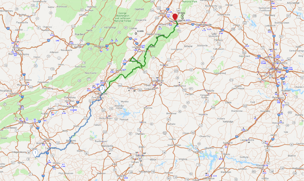
Print link

Blue Ridge Parkway - Virginia

Road Trip

View on Map
iStockphoto.com/dszc
270.8 miles: 6 hours, 56 minutes
The northernmost part of the parkway winds through southwestern Virginia, changing elevation like a rollercoaster as the mountains and rivers meet. Enjoy the feast for your senses—the sound of bluegrass, taste of sweet wine, smell of Catawba rhododendron and of course, the magical views that change with the weather in nature’s IMAX. Check for seasonal closures.
Map pin
Drive trips stop
KenWiedemann/iStockphoto.com
1
NC/VA state line to Roanoke
117.6 miles: 2 hours, 50 minutes
The 45-mph speed limit through the Virginia highlands will slow your pace and allow you to soak in the scenery. History buffs will enjoy the blacksmith, grist mill and restaurant at Mabry Mill. A stop for lunch or wine at Chateau Morrisette is a treat. Campers can settle in at Rocky Knob. Otherwise, enjoy a shorter visit at one of the many overlooks.
photo credit
AAA Photo
2
Roanoke to Waynesboro
153.2 miles: 4 hours, 6 minutes
The 469-mile road that took 52 years to finish ends in Waynesboro after carving a route through the George Washington National Forest. If you’re up for half a hike, cheat a little with a bus ride to the top of Sharp Top Mountain at the Peaks of Otter and then walk down. Farther down the road, be aware of a tunnel with height restrictions at Bluff Mountain.